
We are looking at some great weather today. A cool front is stalling out to our south. High pressure is just off to our west.
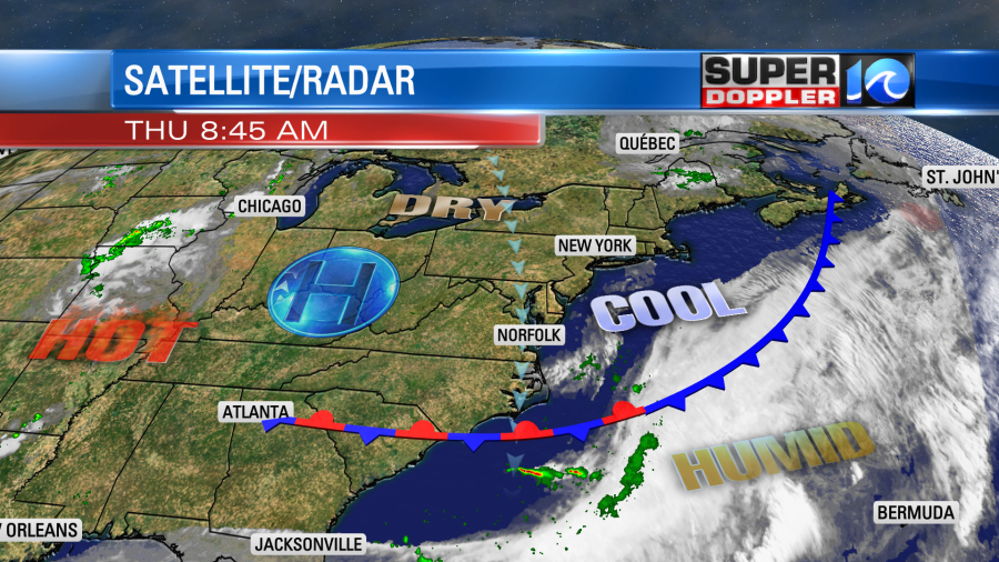
Cool/dry air is flowing in steadily from the north. The dew points were near 60 this morning in Hampton Roads, but drier air was just to our north.
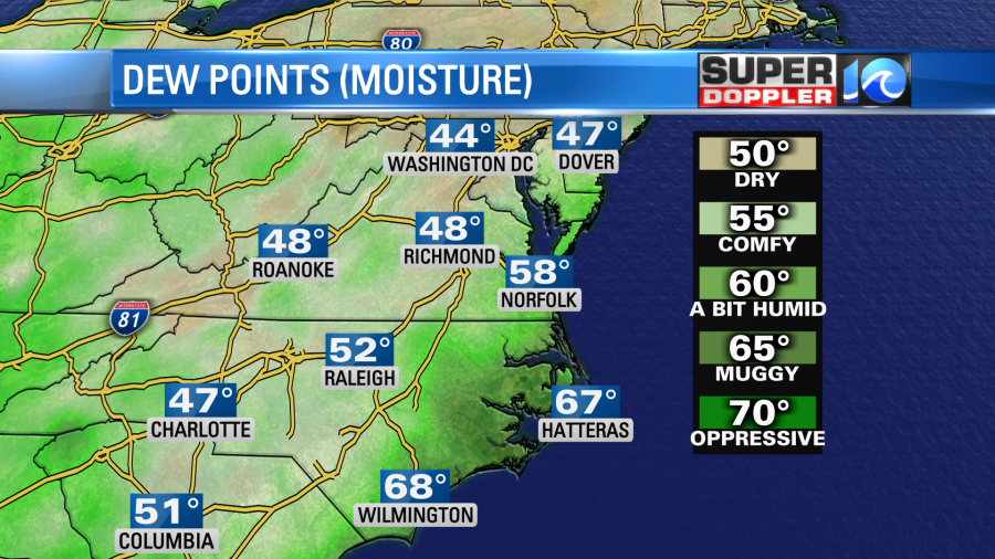
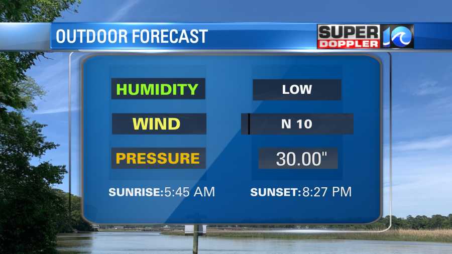
Dew points will drop to near 50 this afternoon as high temperatures aim for the upper 70s to low 80s. It should be very comfortable outside.
We will have a lot of sunshine today. There may be some isolated showers popping up over North Carolina as that is closer to the front, but it is a low chance. Tomorrow we’ll have fair skies as high pressure gets a little closer to the region. As that system moves our surface winds will change. They will be out of the southwest. So high temps will jump to the mid-upper 80s.
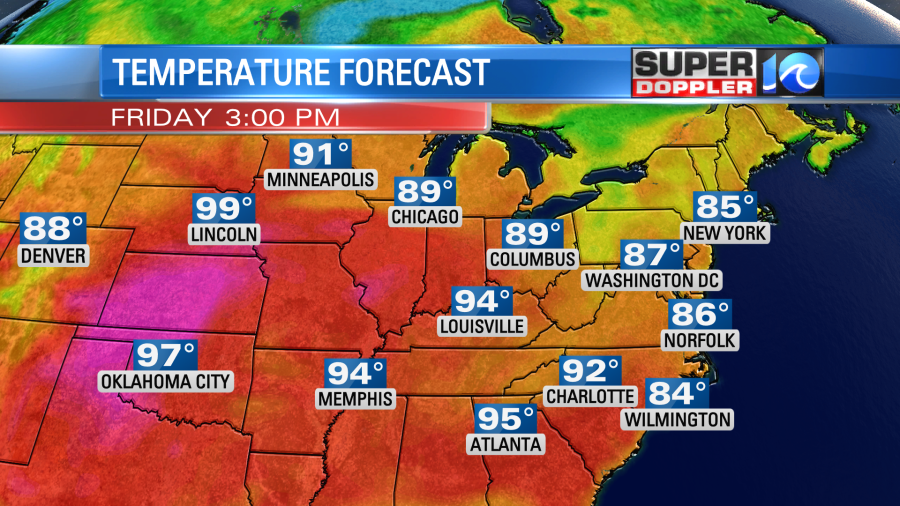
This is still not nearly as hot as the record heat out west. Also, we’ll still be pretty dry tomorrow.
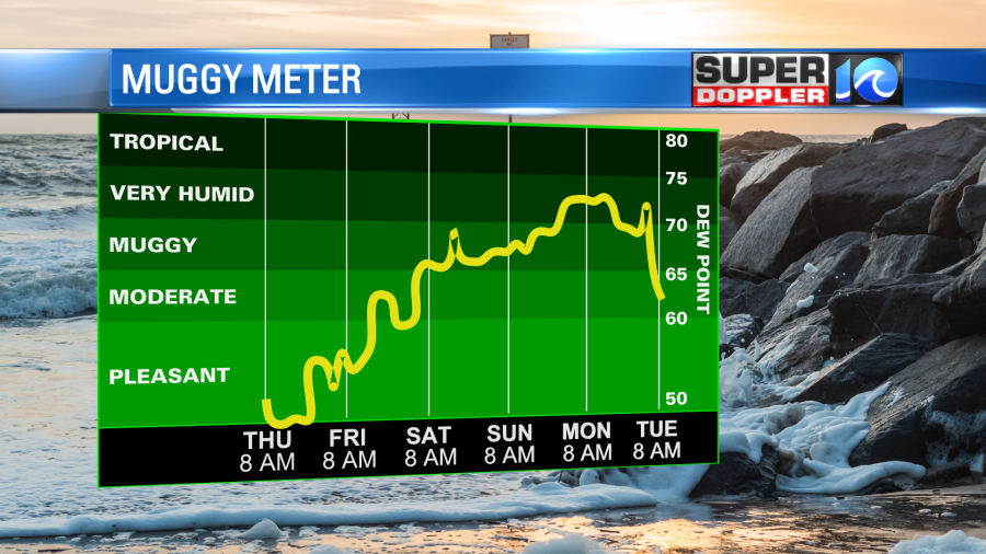
The heat will push east on Saturday for Juneteenth. High temps will rise to the mid-upper 90s locally with the heat index possibly around 100 degrees. Youch! At least it will be some good beach weather. We’ll be partly cloudy with only some isolated showers on Sunday. High temps will be in the upper 80s, but it will still be very humid. There may be a lot of rain Monday, but it will depend on what happens over the Gulf States…
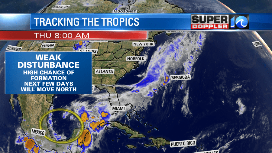
We are still tracking a developing system over the central/southern Gulf Of Mexico. A ring of thunderstorms was forming down there this morning, and they were starting to close in towards a center.
There is a decent amount of ocean energy down that way, but it’s not off the charts.
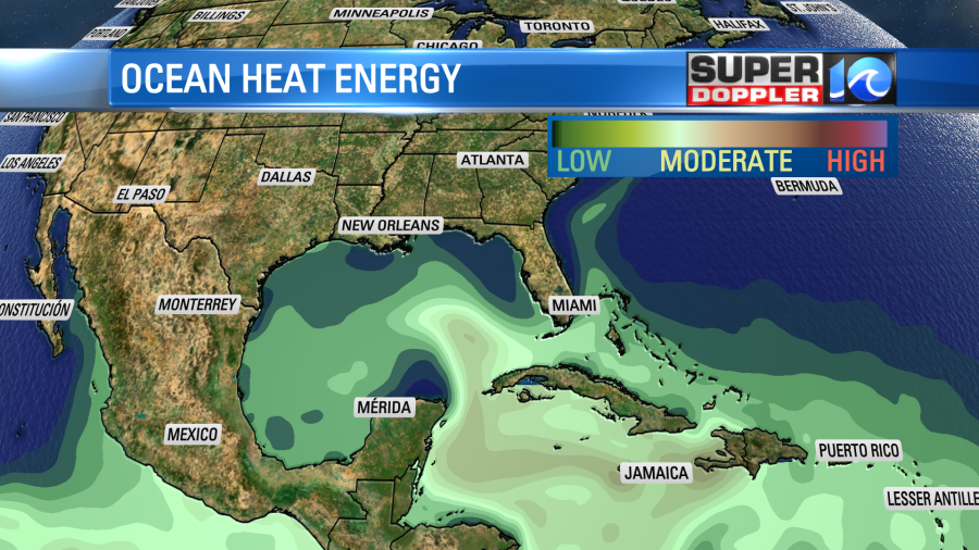
Water temps are in the low 80s. The models still form the system over the next 24-48 hours, and they run it northward. Both the GFS and Euro models keep it fairly weak as they run it towards the Gulf Coast. However, they both have a lot of rain stretching northeast of the system center.
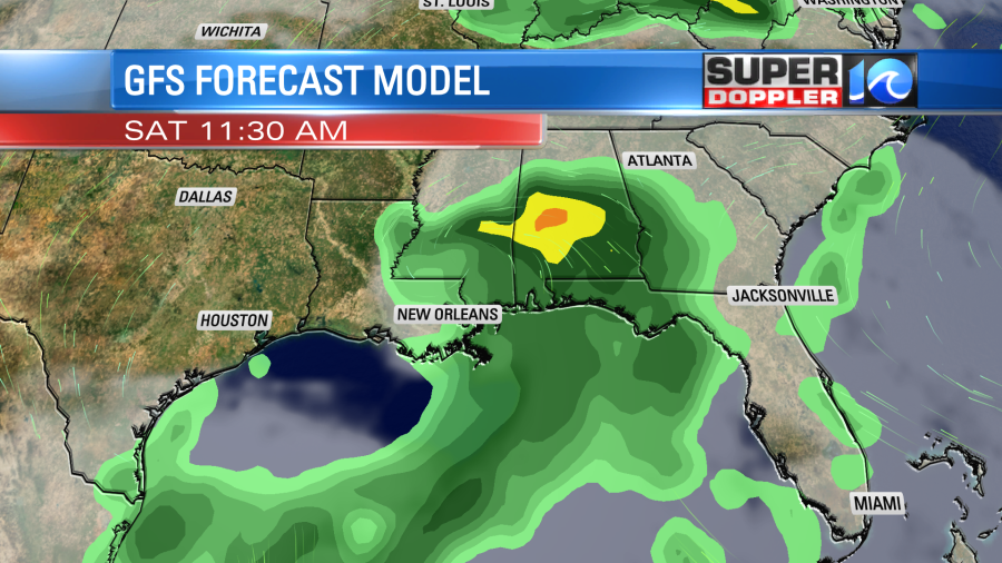
So there may be some flooding down that way this weekend. Some of that moisture may move up this way early next week. Especially on Monday.
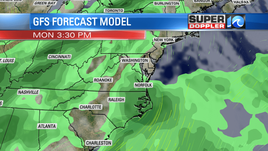
This could create some heavy rain for our region, but we’ll see. It’s still early. So there may be some changes. Stay tuned for updates!
Meteorologist: Jeremy Wheeler


