Today will be a little less humid and warm than yesterday but it isn’t quite that cool, crisp fall air you might be hoping for! But don’t worry, that will be coming as the week goes on.
We’ll have plenty of sunshine today! It’s gorgeous so far this morning. Not many clouds out there!
By Tuesday, more clouds will roll in and with that comes a few isolated showers. But it doesn’t look like many areas will see rain. Better chance of showers comes in with a cold front on Wednesday.
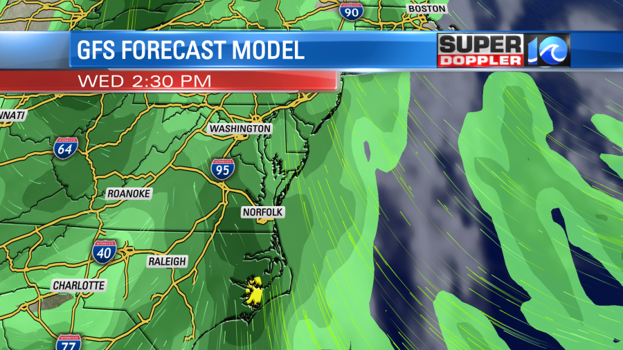
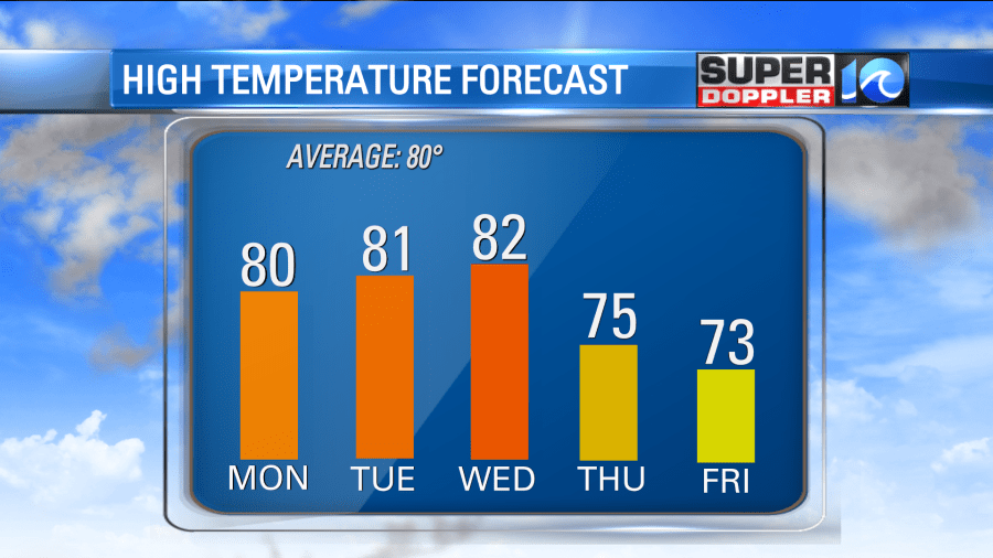
Rain will be on/ off for Wednesday through the overnight hours and into Thursday morning, but temperatures will cool off big time by Thursday! Highs will top off in the mid 70s. Friday will still be cool with low humidity!
Fall officially starts on Wednesday and it really will feel like that through the end of the week.

But we are still in the midst of hurricane season and there is a lot going on in the tropics! We now have Tropical Storm Peter and Rose. Peter could potentially impact Bermuda later this week but Rose will be staying out to sea. There’s another disturbance that is off the coast of Africa that has a high chance of development in the next 5 days. We’ll keep you updated!
Hope you have a great week! -Meteorologist Casey Lehecka