Yesterday there were numerous severe storms over the deep south.
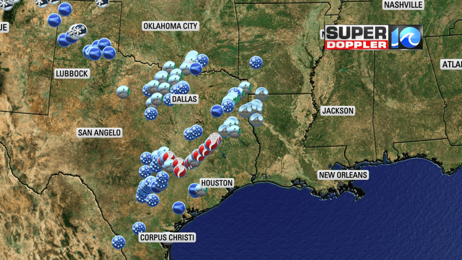
Several tornadoes were reported. There was some incredible video of one tornado that hit near Austin, TX.
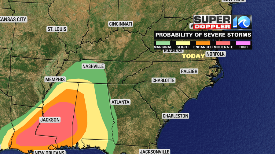
These were along a warm front that was slowly moving north. There was also a large/strong area of low pressure over the central U.S. Upper level winds were pretty strong as well. Today those systems will slide east. The instability will grow even more between Louisiana, Mississippi, and Alabama. There is a moderate risk for severe weather over there for today.
However, we’ll have some more nice weather in our region as high pressure holds on.
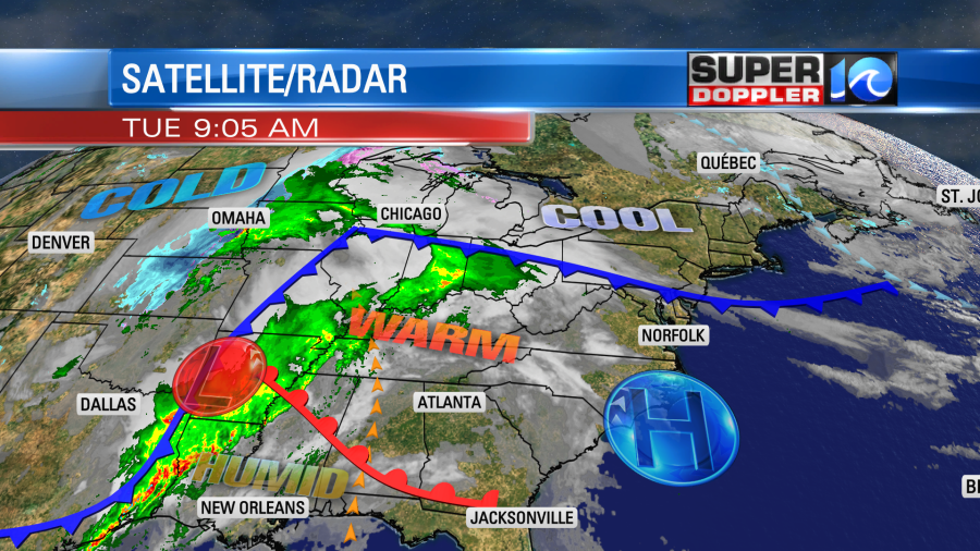
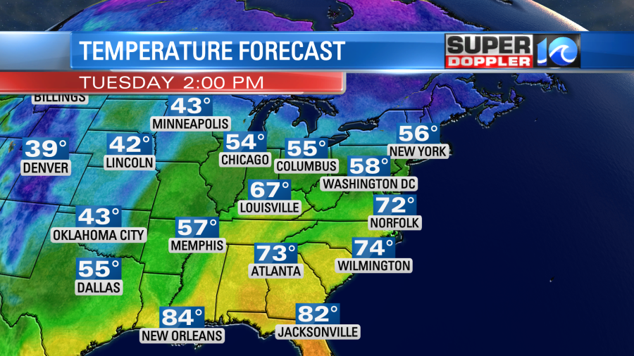
Skies will be mostly sunny to partly cloudy. Winds will be out of the southwest at 5-10mph. We’ll be dry all day. High temps will be near 70 degrees. There is a cool front that will drop in and stall out over part of the area. This will keep high temps in the 60s on the Eastern Shore, Middle Peninsula, and locations near the shore. However, the bulk of the region will stay on the warm side of the front. So most high temps will be near 70 or in the low 70s.
Tomorrow all of the big systems will move east, and the local front will move back north as a warm front.
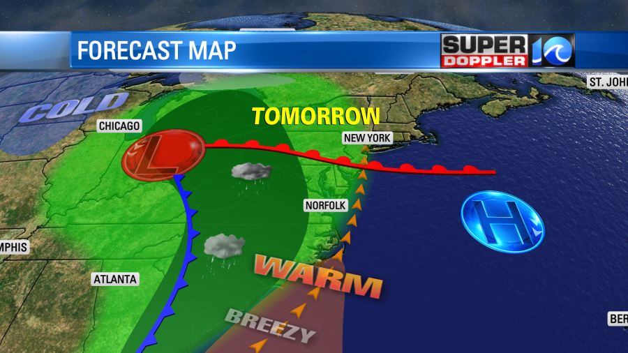
We’ll have more clouds with isolated showers in the morning and some scattered showers with a few storms in the afternoon. The wind will be stronger out of the southwest. So high temps will still be able to reach the low 70s. The chance for scattered thunderstorms will increase Wednesday night into Thursday morning. There could be a few strong storms during that time, but the models have been trending later now. A large area of rain and storms will form later Thursday morning into the afternoon.

Some of those storms could be heavy with gusty winds. We’ll stay mild on Thursday. High temps will be in the low 70s. Temps may drop as the heavier rain moves in to the 60s. We’ll have a few more rain showers early Friday before we dry out in the afternoon. Then we’ll be much cooler and drier over the weekend. There may be some frost in the region Sunday morning. We’ll talk more about that in tomorrow’s weather blog.
In world news… I caught an interesting article about some extreme heat over the north and south poles. Apparently parts of the Antarctica continent were about 70 degrees above average recently. At about the same time parts of the Arctic were 50 degrees warmer than average. This is unprecedented! Here is the article with more information: Extreme warming over the Arctic and Antarctica.
Meteorologist: Jeremy Wheeler


