After a pretty quiet Tuesday, we had a few strong storms move in yesterday evening over the region.
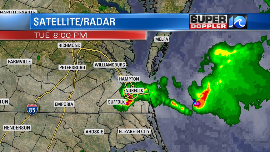
These put down some brief heavy rain and also some small hail. I had a little at my house last night (pea sized), but it melted within 2 minutes. Today will be somewhat similar. We’ll have a long stretch of partly cloudy skies. However, there will be a handful of showers during the mid-late morning. Then we’ll have some scattered thunderstorms towards the end of the day.
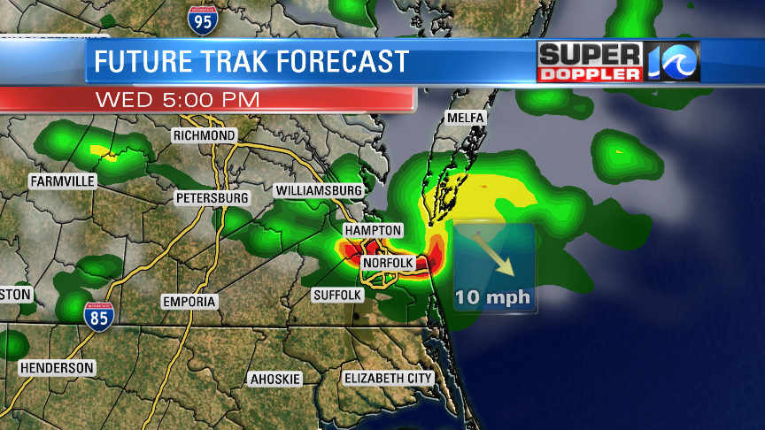
Some of the afternoon/evening storms could be strong to severe. There is a marginal risk for severe weather in our region with a higher risk to our west. Strong gusty winds will be the main threat. Small hail will also be possible. We have a warm front passing to our north.
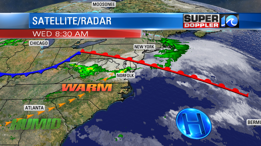
So we’ll definitely be in the warm zone today. High temps will rise to the lower 80s. It will be moderately humid, and a little breezy. Tomorrow a cool front will move in later in the day. We’ll have partly cloudy skies. There will be some scattered showers and possibly a few storms ahead of the front. This will be between the late morning into the early afternoon.
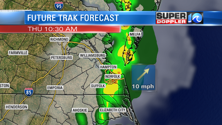
High temps will only be a tad cooler though. We’ll be in the upper 70s. Winds will be out of the west. After the cool front moves through the area we’ll start drying out. We’ll be cooler and drier on Friday with highs in the lower 60s. We’ll be partly cloudy on Saturday with highs in the low 60s. The weather looks pretty good Sunday morning. However, some rain will arrive by late in the day. Highs temps will be in the upper 60s. I’ll have more updates on that tomorrow.
Meteorologist: Jeremy Wheeler


