Well….last night was a bummer for most. The skies tried to clear during the early evening for the “Great Conjunction”. However, the clouds hung tough in Hampton Roads. So many missed out on the rare event.
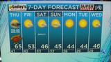
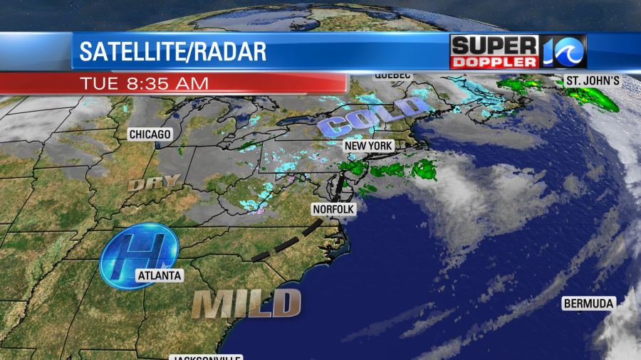
Today we will have lots of sunshine in the region. There was a small pocket of clouds this morning. It was along a wind shift that is rolling to the east. High pressure will build in from the west as the wind shift moves offshore.
Winds will pick up out of the northwest. They will run at 10-20mph with gusts to 25mph. With a good amount of sunshine today temps will rise into the mid 50s. We’ll be mostly sunny for the bulk of the day. Tomorrow will be quiet with high pressure over our area. We’ll be partly cloudy with highs in the 50s again. There will be less wind.
Things change on Christmas Eve day. We’ll have strong winds picking up out the south. The models are delaying the precip now (which is good). They now have the rain moving in later towards the late afternoon and early evening.
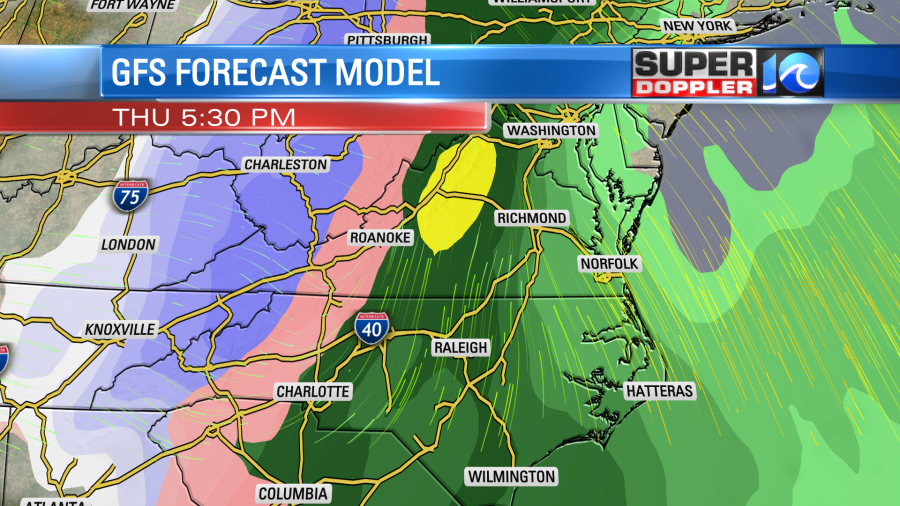
However, rain could be heavy in the evening. The strong south winds will drive temperatures up into the upper 60s and possibly low 70s. Winds could gust up to 35mph. There will still be a lot of clouds. There may even be a few thunderstorms in the evening. That stinks! It’s bad enough to have rain on Christmas Eve, but thunderstorms… We’ll see.
Either way a strong cold front will move through in the late evening. Temps will then crash behind the front. There could be a brief wintry mix after midnight, but it would likely melt.
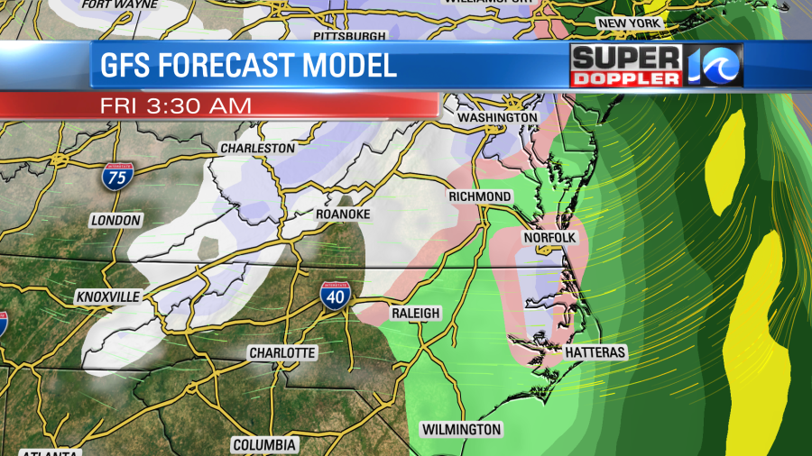
The big area of precip will move out by early Friday morning as drier air enters from the west. As I mentioned in yesterday’s weather blog, there will be a big upper level low drifting over us on Christmas Day. This will likely give us a mix of sun and clouds. There will also be some flurries or sprinkles falling. It will be very cold in the mid-upper levels. Surface temps will be in the 30s in the morning and the evening, but we’ll likely rise into the low 40s during the afternoon. Then we’ll be cold and dry on Saturday.
We’ll be better able to pinpoint the late Thursday into Friday forecast by tomorrow. Then it will be in range of the higher resolution models. So stay tuned for updates.
Meteorologist: Jeremy Wheeler