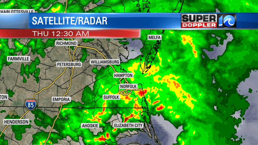
Last night we had some strong thunderstorms over the area…again! The first round started up around 8-9pm.

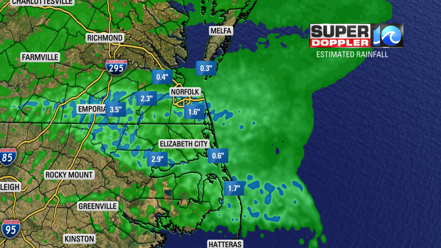
The second round came in from 11pm until about 1am. Rain was heavy over the Southside and northeast North Carolina. Some folks picked up 1-2″ of rain.

There was less rain from the Peninsula northward. My weather watcher Scott in Yorktown had 0.36″ of rainfall. There was less than a tenth of an inch in Melfa on the Eastern Shore.
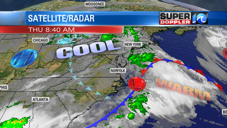
This activity was mainly caused by an area of low pressure that scooted along a stationary front. Now the low is out to sea, and a cold front has dropped to our southeast behind it.

There is still some moisture and some upper level energy hanging back behind the surface low. So we’ll hold on to a lot of clouds through the day. We’ll also have some isolated showers, but there will be plenty of breaks in-between. Hopefully, there will be some clearing late in the day. Winds will be steady out of the northwest at 8-12mph. This will keep the high temperatures in the mid-upper 60s. This is seasonable, but it is cooler than yesterday.
Tomorrow we’ll be cool and dry as high pressure builds into the region. Low temps will be in the 40s. High temps will be in the mid 60s. We’ll be cool and dry again on Saturday, but more moisture will rise into the region on Sunday. This will give us more clouds, and some isolated showers may return. High temps will be in the 60s into early next week.
Meteorologist: Jeremy Wheeler


