
I’m tracking a cool front that is stalling out to our west today.
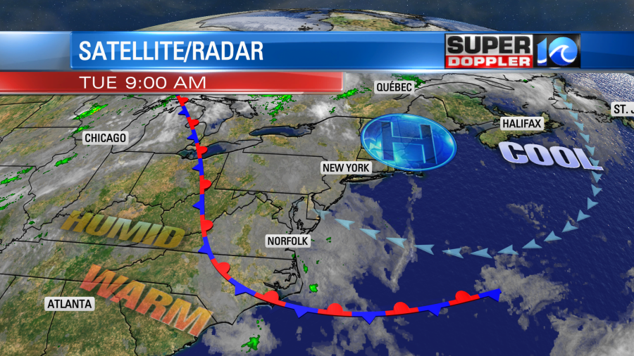
We have high pressure to our northeast, but it is not moving any closer to us today. The front, however, will edge a little closer to us this afternoon. This combo is creating a lot of clouds in the region, and there are also some spotty rain showers. We’ve lost the strong northeast breeze that we had yesterday. So despite lots of clouds we should be able to warm up to near 80 degrees this afternoon. There will be a few 70s near the shore and north of Hampton Roads.
The chance for rain today is not high. I put it at about 30%. There were some isolated to scattered showers yesterday.
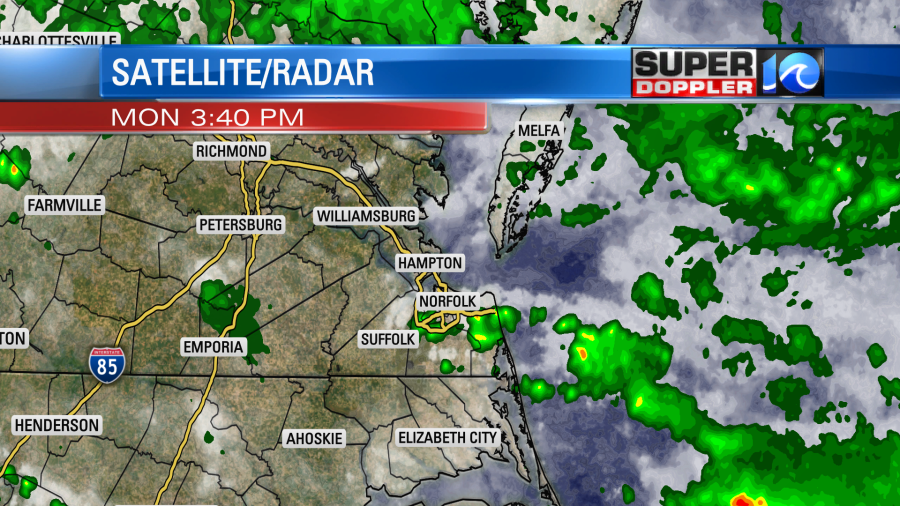
However, they missed the rain gauge at Norfolk International Airport. So we are still in the driest month of May on record. At least so far…
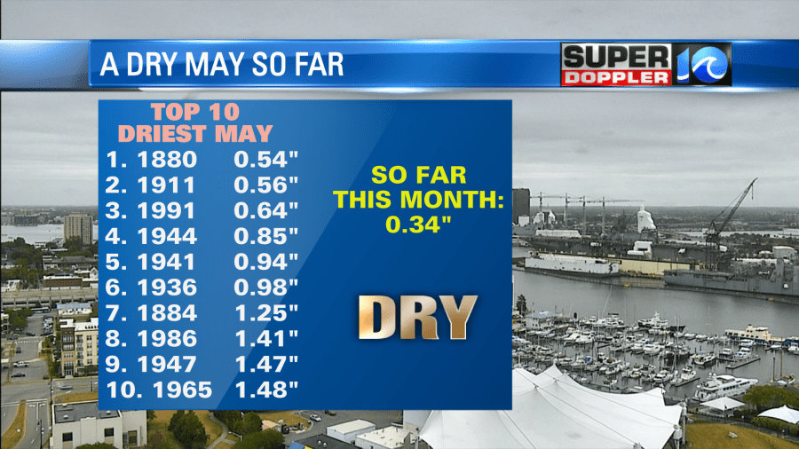
We will have some decent rain chances as we go through the week. This could start to add up in the rain gauge if we’re lucky. Let the Roulette wheel of rain begin!
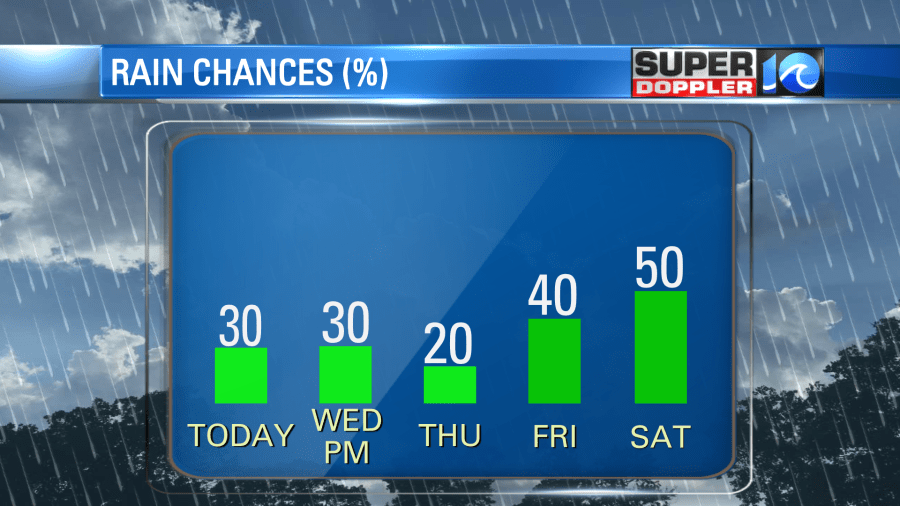
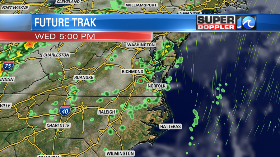
Tomorrow we’ll heat up quite a bit as the winds turn out of the southwest. Also, the front will move offshore as a warm front. We’ll have partly cloudy skies for the first half of Wednesday. Then we’ll have some scattered showers and storms developing during the afternoon.
There could be a couple of strong storms tomorrow afternoon with all of the heat and humidity in the region.
We’ll cool down slightly on Thursday as the winds turn slightly. We’ll be partly cloudy with high temps in the mid 80s. It will still be humid though. So some isolated showers or storms may pop up in the afternoon.
A cold front will arrive on Friday. We’ll have lot of clouds with some scattered showers and storms. High temps will be more in the lower 80s. Then we’ll cool down even more on Saturday. High temps will be in the 70s as the front stalls out over our area. The front (should) finally move south on Sunday. After some showers in the morning we should dry out Sunday afternoon into Monday. For now the weather looks good during that time. This is good news for Memorial Day. However, the forecast for the weekend still could change a bit. The front may stall out sooner or later. (Hence the “shoulds” So stay tuned for updates as we head towards the weekend.
There is still a high threat for rip currents at the local beaches today. It’s not a great beach day anyway. Temps will be in the 70s down there will lots of clouds and some spotty showers nearby. Things should calm down by tomorrow.
Meteorologist: Jeremy Wheeler


