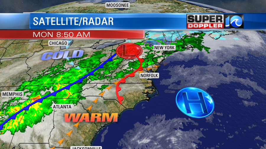
We will have some more up-and-down temperatures this week along with rising and sinking rain chances. No pun intended. Today will be pretty nice out overall, but there may be some isolated showers late in the day. High pressure is moving offshore. A warm front will move through the area, and then it will pass to our north.

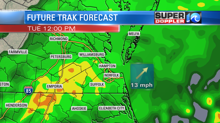
We already have a southwest wind in the region. It will run at 10-15mph with some gusts up to 25mph today. This will help to boost the afternoon temperatures into the mid 60s However, we will have a steady increase in cloud cover through that time. I’m not expecting rain for most of the daytime, but I think we’ll catch some isolated showers by the early evening. We’ll have lots of clouds tonight with scattered rain showers developing. Low temps will be in the 50s. Then tomorrow we’ll have a lot of rain in the area. The models show pretty widespread rain during the late morning into the early afternoon.

There could be some isolated to scattered heavy downpours for a time. We’ll have a southwest wind for a while, and that should be able to push the temps up to the upper 60s. However, a cold front will move through the region during the mid-late afternoon. Winds will turn out of the west, and this might drop temperatures a bit. Rain showers will taper off during the evening. We could see about a quarter to 3 quarters of an inch of rain between tonight and Wednesday morning.
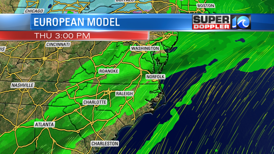
We’ll get a taste of the colder air on Wednesday. High temps will drop to the lower 50s. We’ll have a mix of sun and clouds. There will be a few showers in the afternoon. Another warm front will roll through the area going into Thursday. It will be attached to an area of low pressure and a bigger cold front. Rain will be likely ahead of those features.

The breeze will be strong out of the southwest. So high temps will bump back up to near 70. The 2nd cold front will swipe east late Thursday. That will cool us down and dry us out on Friday. High temps will drop to the mid 40s with partly cloudy skies. This will make for a chilly Valentine’s Day.
Stay tuned for updates.
In world News… Over the weekend there was an article about the Antarctic. Apparently, there was a location on the continent that hit 65 degrees recently. This could be the warmest temperature on record. That was warmer than our local high yesterday. However, it is still Summer down there since it’s the southern hemisphere. So keep that in mind. Here is the article with more information: Record warmth Antarctica.
Another recent headline that I’ve been wanting to post isn’t necessarily about weather, but may be caused by it. There have been swarms of locusts that have been plaguing eastern Africa, and it may be spreading to parts of the Arabian Peninsula. This article that I found says that it is the worst Kenya has had in about 70 years. This is having a huge impact on crops across that entire region. Here is the article with more information: East African Locust Swarms.
Meteorologist: Jeremy Wheeler


