Yesterday was another soaker. We had rain showers, thunderstorms, and some localized flooding in the region.
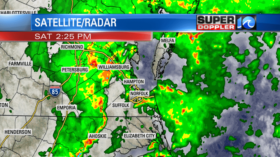
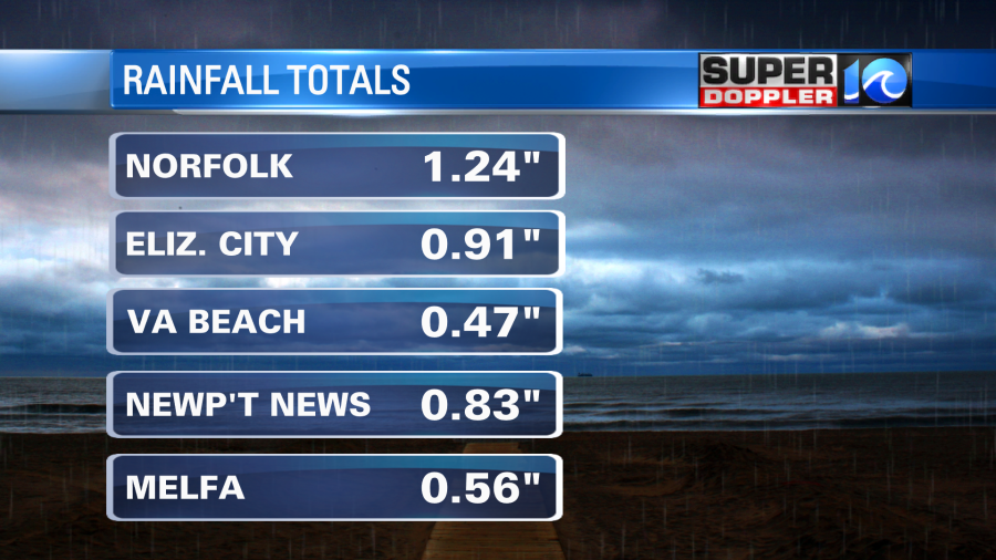
There were varying amounts of rain. Most locations had a half inch to an inch. However, there were several spots that had 2-3″ of rain.
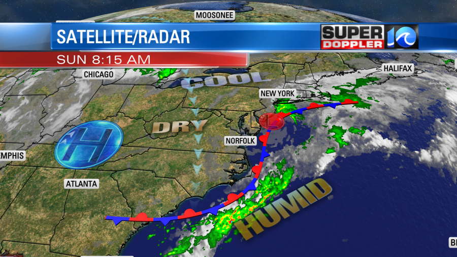
This morning there were still some clouds, but they should break up as we go through the day. The low pressure system that was over us Saturday has moved off to the northeast. The front has drifted to the east/southeast.
The front will fall apart through the day. High pressure will edge in a bit from the west. So we’ll be partly cloudy this afternoon. High temps will run mostly in the mid 80s. There is a moderate threat for rip currents at the Outer Banks beaches. There is a low threat in Virginia Beach.
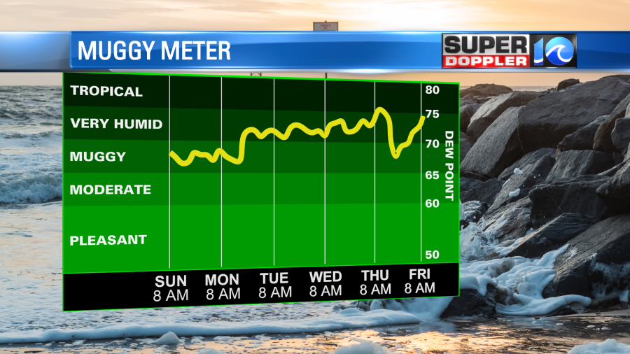
We’ll have pretty quiet weather during the week ahead. High temps will run in the upper 80s to low 90s. Humidity levels will be pretty standard for late Summer. This means that it will be pretty darn hot and humid later in the week, but we won’t be breaking any records.
There will be some isolated to scattered showers and storms later in the week.
The tropics aren’t ramping up just yet, but there is some new activity to watch. There are 3 tropical disturbances that are over the central Atlantic that we are monitoring.
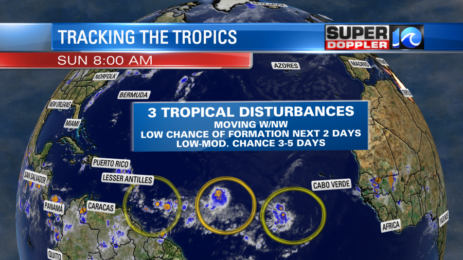
They all have a low chance of formation in the next 48 hours. However, the western and central features have a low-moderate chance of formation over the next 3-5 days. Stay tuned for updates.
Meteorologist: Jeremy Wheeler