
The weather is looking good for the holidays, and it’s also looking pretty good for travelers as well. Today we have a cool front passing through the area, but it will move through dry. There is an area of high pressure to our north. There’s an area of low pressure to our south, and it is moving offshore.
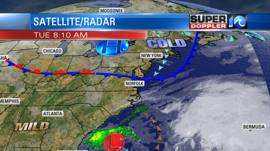
The breeze will pick up behind the front today. It will run at 10-15mph with some gusts to 20mph. Keep that in mind if you are carrying a bunch of heavy packages to-and-fro. The breeze will keep us a little cooler than yesterday, but not too much. Highs will be in the lower 50s.
It will be good weather for travel for much of the country today. It will be dry over the eastern 2/3rds of the country.

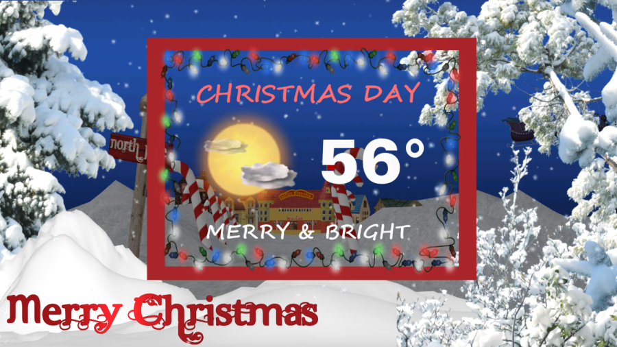
We’ll be dry this evening for Christmas Eve. Temps will be in the low 40s this evening. They will drop to the upper 30s overnight. Then tomorrow we’ll have partly cloudy skies with high temps in the mid-upper 50s. There will be less wind. So it will be pretty nice weather for Christmas Day.
We’ll be dry and warm Thursday and Friday. High temps will be close to 60 degrees. We’ll also be warm on Saturday. Highs will be in the 60s with partly cloudy skies. Some of the models are suggesting that we’ll hit 70 on Sunday. For now I’m trending it up. I’m calling for upper 60s. However, there will be more clouds, and there will be some scattered rain showers in the region. The long range models show us cooling down quite a bit by the middle of next week. So it might get colder as we head into the new year. Happy holidays and safe travels!
Meteorologist: Jeremy Wheeler