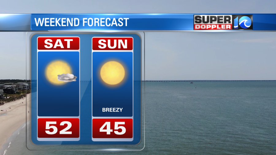
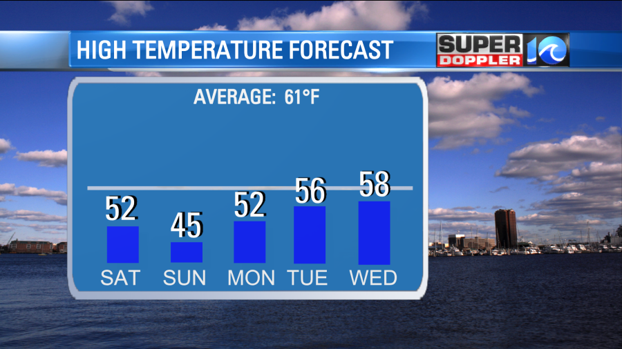
There will be a winter like chill in the air this weekend as we see temperatures remain in the 40s and 50s. The good news – a lot of sunshine will be around – but it will still feel like a winter like day. Our average this time of the year is typically in the low 60s.
To our west, we’re keeping an eye on a cold front that quickly approaches the region tonight. As the front comes through tonight into Sunday, we’ll get a re-enforcing shot of cool air that will lead to even colder temperatures on Sunday. Highs will only be in the low to mid 40s. There will be a bit of a breeze too Sunday.
A slow warming trend happens Tuesday into Thanksgiving -with highs approaching the upper 50s to low 60s by late week.
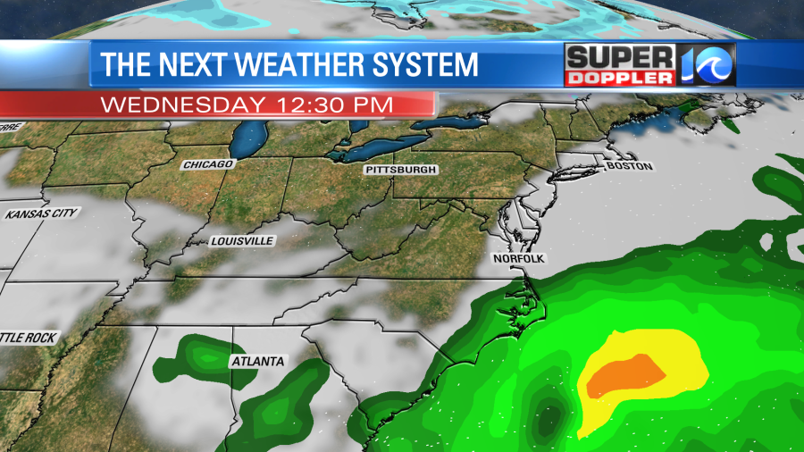
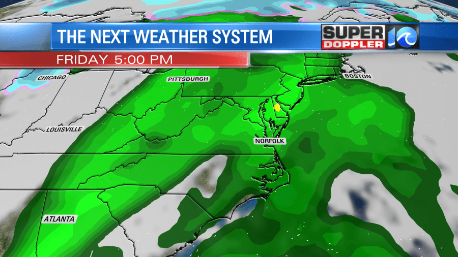
Rainfall chances remain low through the weekend and early in the week. We will see an area of low pressure try to form off the coast and quickly move northeast on Wednesday. This could bring a few showers – especially in NE NC on Wednesday. The next rain chance then arrives on Friday as a strong cold front approaches. A few t-storms will also be possible.
Hope you have a great weekend!
Meteorologist Ricky Matthews
Follow Ricky on Facebook and Twitter