Wonderful weather is expected this weekend and Labor Day Monday. For Saturday, we’ll warm into the upper 70s to low 80s across the area. It will be very nice and sunny. We’ll keep that sunny weather going into Sunday, with just a few morning clouds giving way to afternoon sun. Highs will be in the upper 80s on Sunday.
For Labor Day Monday, expect highs to be in the low 90s. Once again a lot of sunshine can be expected.
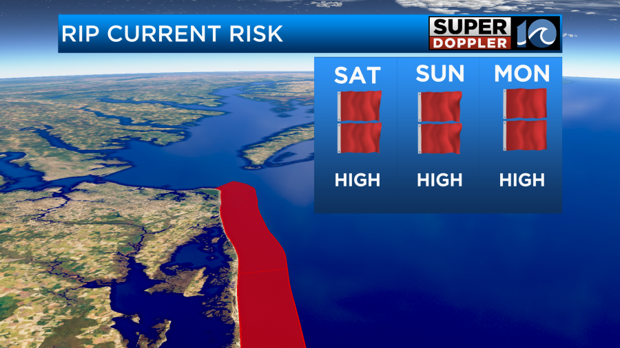
While the weather will be wonderful, the water at the beach will be dangerous. Red flags will by flying at many area beaches due to large waves and the risk for rip currents. Lifeguards will likely not let you go beyond your knees or waist for your safety.
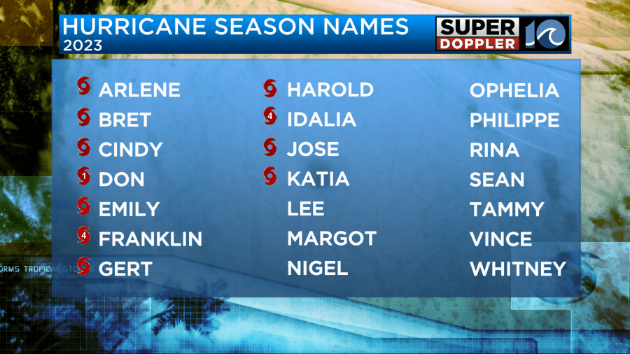
In the tropics, Idalia is expected to move north over the next few days. Gert should weaken, as should Katia over the next few days. All of these systems are no concern to us.
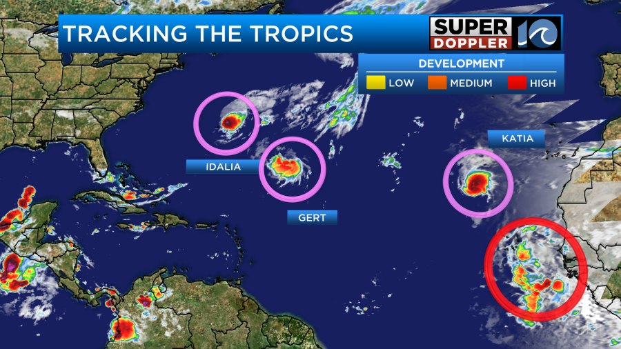
We will need to keep an eye on the next system coming off of Africa. The National Hurricane Center gives this system a high chance of development over the next several days. Both the GFS and Euro develop this system and track it west across the Atlantic Basin, having it north of the Lesser Antilles by next Saturday.
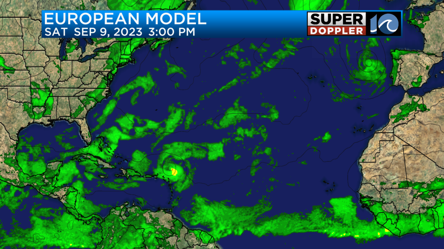

It’s certainly something to watch in the long term forecast. Some models do curve it out to sea, but this far out things can chance. So check back for updates on it as we get into next week. Next name on the list is Lee.
Hope you have a great weekend!
Meteorologist Ricky Matthews
Follow Ricky on Facebook and Twitter