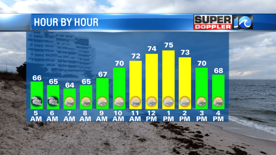
We’ve made it to Friday but the weather will be a little weird today. We will start the day mild with temperatures in the 60s. Most spots will warm into the upper 60s to low 70s- if not mid 70s by midday. Then, things change.
A backdoor cool front is approaching from the north this morning. We will see temperatures cooler to the north and warmer to the south through the day. For the Eastern Shore and Middle Peninsula, temperatuers will be in the low 60s to 50s through much of the day. For the Peninsula, we’ll warm into the low 70s by late morning before temperatures fall into the 60s and 50s by late in the day.
For the Southside, parts of Norfolk and VA Beach with a wind off the water will be cool into the afternoon. For inland areas, temperatures will remain in the 70s through the early afternoon but fall into the 60s by the evening. Parts of Franklin, Ahoskie and NE NC could stay in the upper 70s for much of the afternoon before falling late this evening.
Below is a rough map of what highs should look like today- but remember temperatures will change some through the afternoon!

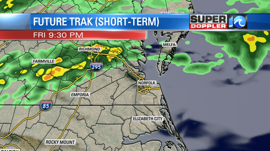
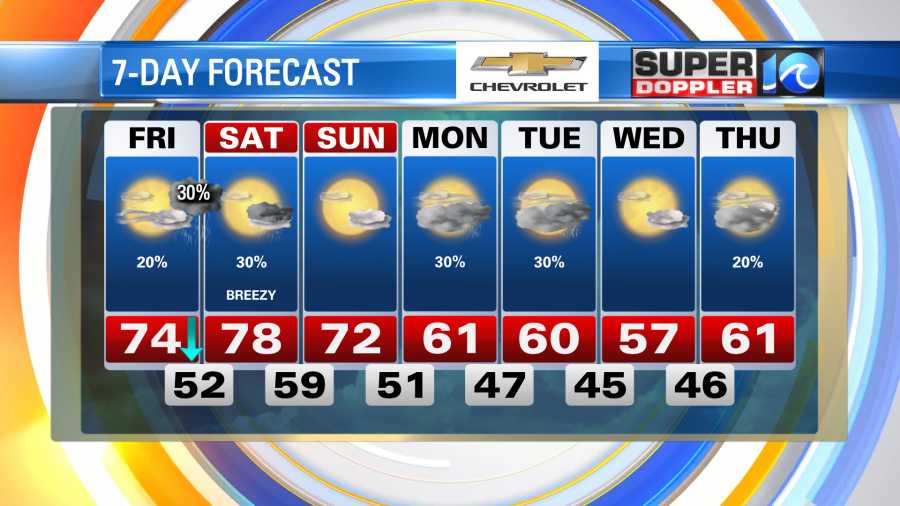
Late tonight we could see a few showers or an isolated storm develop. The best chance for this will be to the north and west of the Hampton Roads area. Another rain chance moves in on Saturday as the front drops into the area. An isolated t-storm is possible.
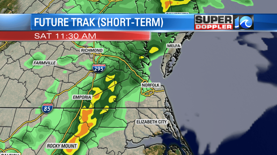
Temperatures Saturday will be nice once again as a breezy SW wind develops. Most spots should climb into the mid to upper 70s. A little cooler Sunday with highs in the low 70s. Temperatures cool a bit next week with near average highs.
Hope you have a great day!
Meteorologist Ricky Matthews
Follow Ricky on Facebook and Twitter


