This morning started off with lots of clouds and mixed temperatures. A stationary front sat across the area from north to south. So temps were near 50 closer to the shore with some 30s inland. High pressure was moving offshore, and moisture was pulling up out of the south in the mid and upper levels.
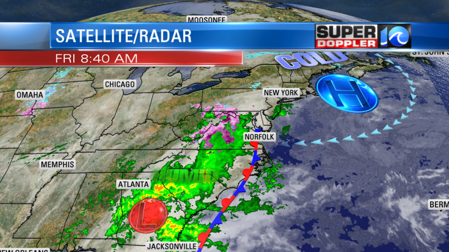
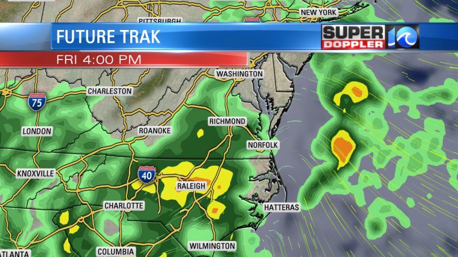
An area of low pressure was forming down to our south towards Georgia. It will move north through the region over the next 24 hours. With the combination of these weather features we’ll have an increasing chance for rain today. It will become widespread by this evening.

High temps will warm to the mid-upper 50s this afternoon. There may even be a couple of 60s. We’ll have an east/northeast breeze, but it shouldn’t be too strong. Tonight we’ll have widespread rain with low temps near 50. Tomorrow the low pressure system will move north of our region. So we’ll have a big slug of rain in the morning.
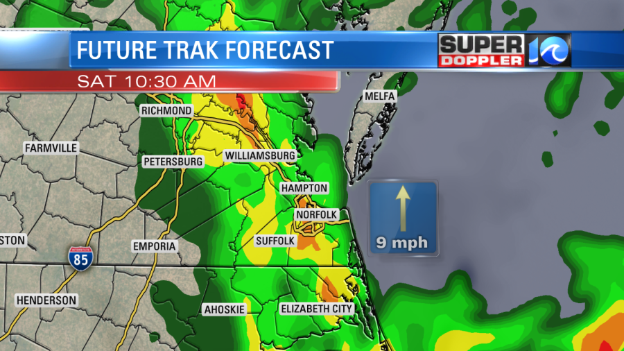
Then we’ll have a decreasing chance for showers during the afternoon. High temps will be in the low 60s tomorrow. So hopefully, there is a small window when there will be some decent weather tomorrow afternoon. If not…well then Sunday is looking pretty darn good. High temperatures will be in the mid-upper 50s with partly cloudy skies. We’ll have similar weather on Monday. They we’ll warm up with some rain on Tuesday.
We are looking at about a half an inch up to an inch and a half of rain over the next 36 hours.
Stay tuned for updates.
Meteorologist: Jeremy Wheeler