Locally we will be cold and dry today. It will be a little milder than yesterday (high temps were in the 30s), but it won’t be a huge difference. High temps will be in the mid 40s this afternoon. We have a huge area of high pressure edging in from the west. This will provide us with a lot of sunshine through the day.
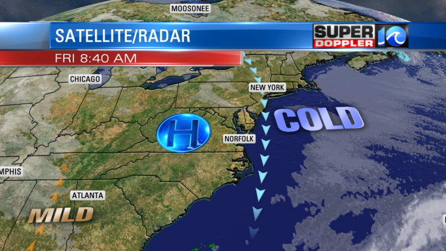
There will be a light wind out of the north. The weather will be great for travel in the region. Just a little chilly. The weather will actually be pretty good for most of the country.
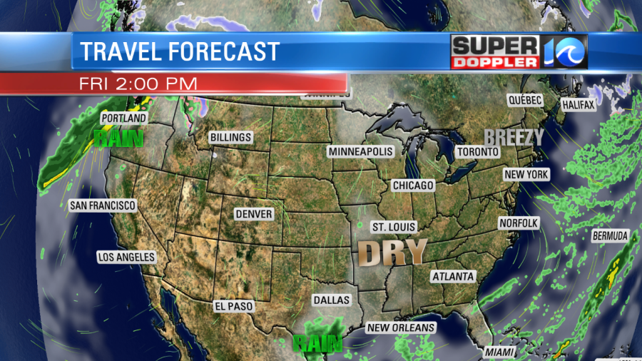
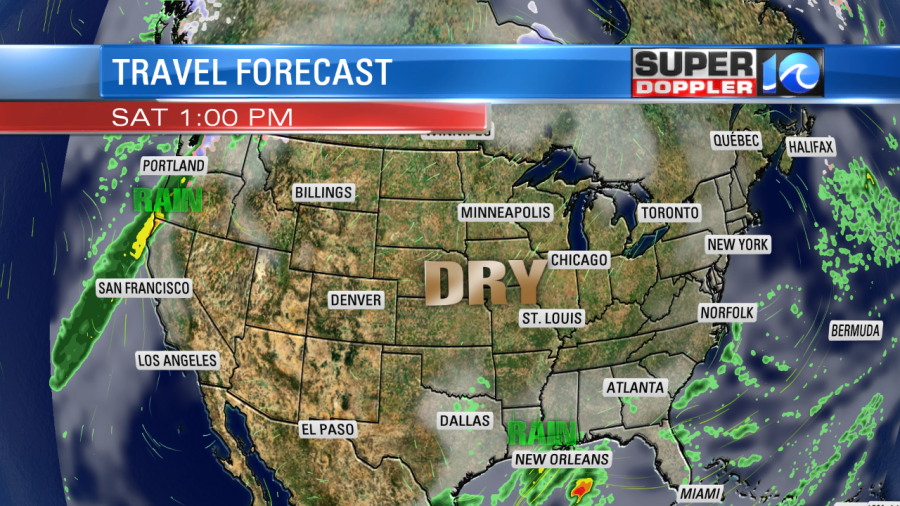
There will only be a few small areas with rain. The pattern won’t change much tomorrow.
We’ll be dry here locally too. High temps will be in the 40s with a light northeast wind. We’ll warm up a little by Sunday. Highs will be in the 50s with partly cloudy skies. There will be rain to our southwest as an area of low pressure forms over the deep south.
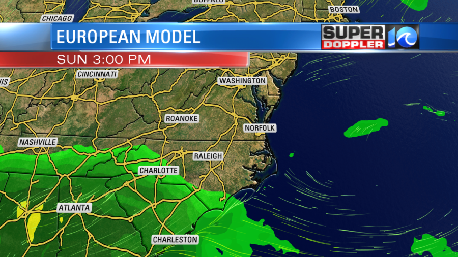
The low will slide east on Monday. It will push some rain up into North Carolina. Some of the showers could reach as far north as Hampton Roads.
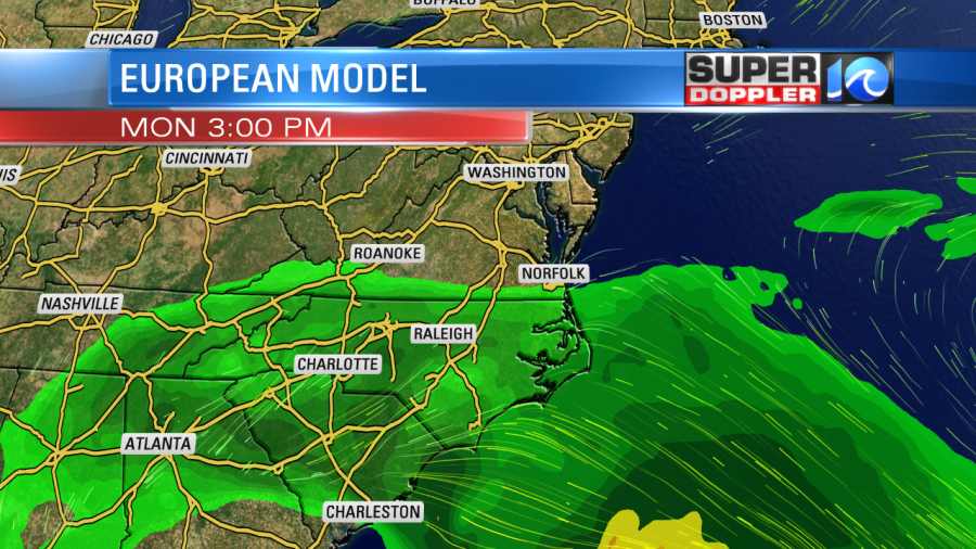
The models are split as to how far north the rain gets, but I think there will at least be a few light scattered showers or sprinkles reaching the metro. We’ll see.
The low will move out to sea on Tuesday. We’ll have a mix of sun and clouds with mild temps. Highs will be in the upper 50s to possibly the low 60s. This will be for Christmas Eve. Then on Christmas day we are looking dry and warm. High temps are currently forecast to be in the low 60s. Safe travels to all of you travelers!
Meteorologist: Jeremy Wheeler