Over the last couple of months we have gotten periodic shots of cooler/drier air over the eastern U.S. They have been some nice breaks. However, I think that pattern is starting to break down. It looks like we are now going to go into a pattern of high humidity with longer stretches of heat. Today’s temps won’t be too bad. Our forecast high of 86 degrees is actually a few degrees below average. Our model is calling for 87.
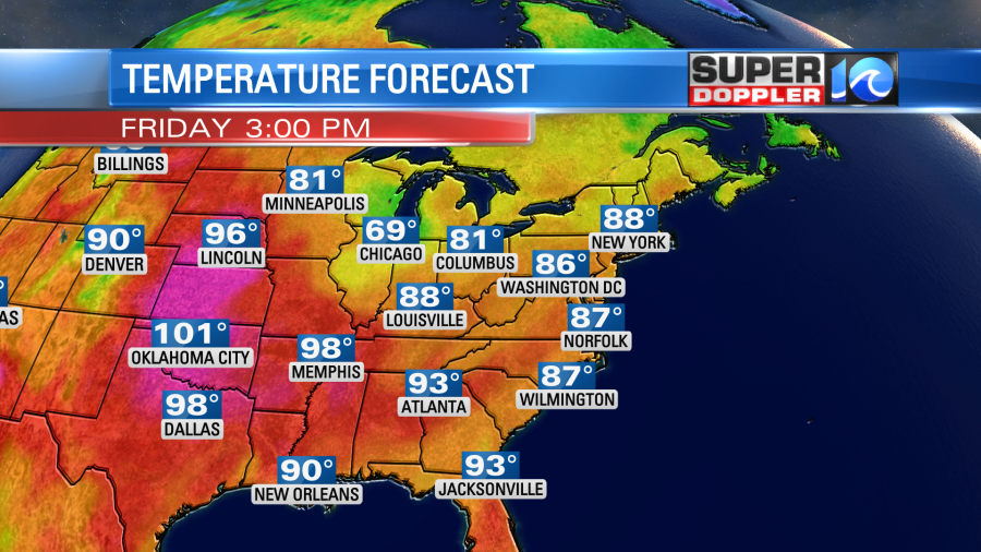
The extreme heat is still baking the central U.S. Hot temps over Texas are causing power companies to take action to avoid rolling blackouts.
They have had an extreme drought over parts of the central and western U.S. for a while.
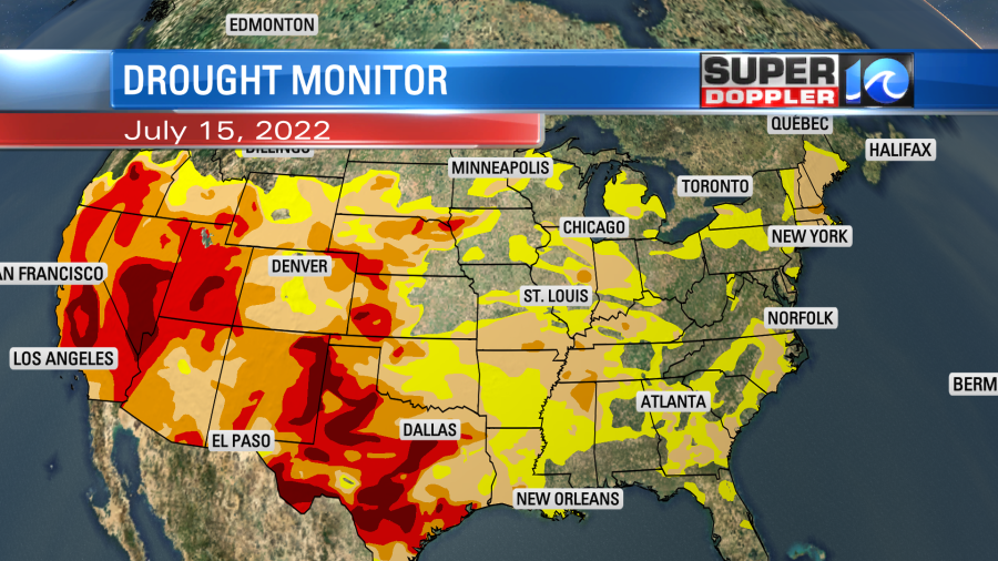
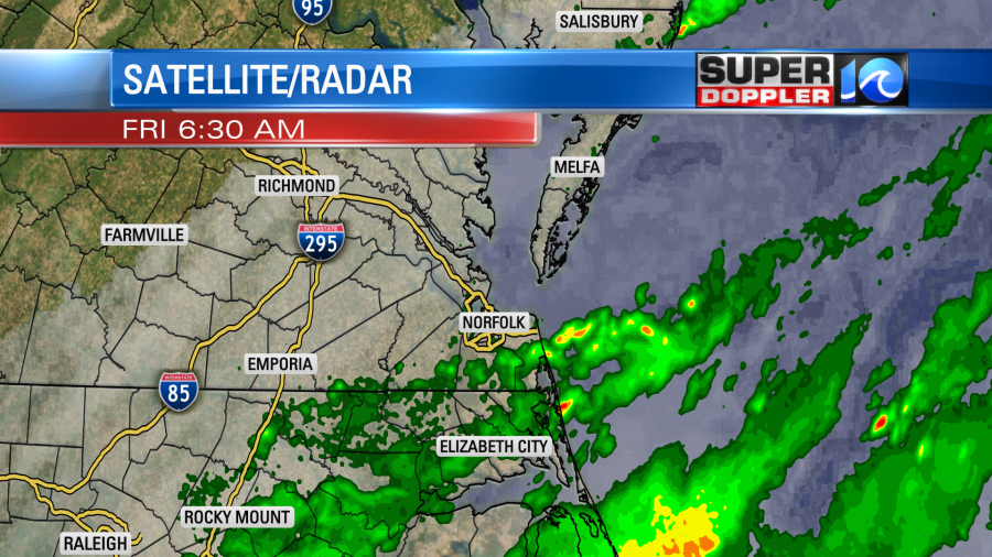
That has been part of the reason for the extreme heat. We have started chipping away at our regional drought with some rain recently. We had some scattered showers again this morning from the Southside down to northeast North Carolina.
There are 2 stationary fronts intersecting near our region.
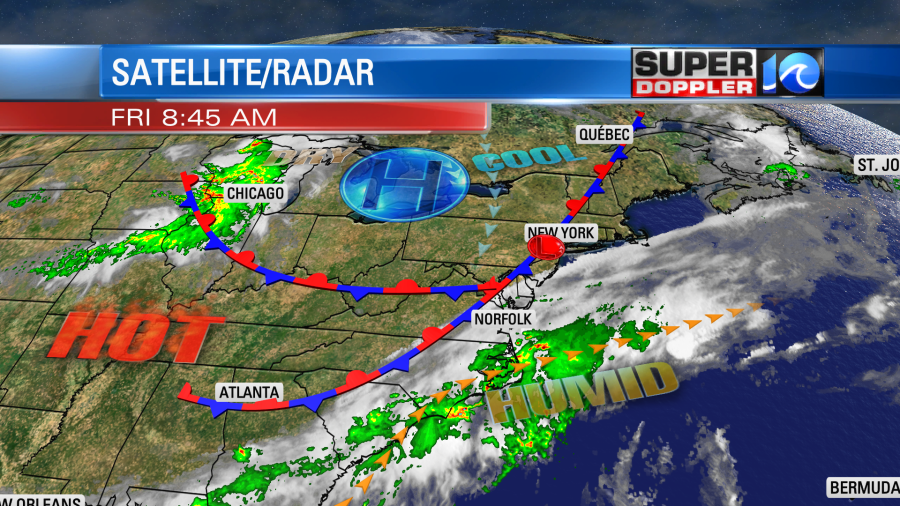
There is a LOT of deep humidity south of those boundaries. We are in that area. Dew points are in the mid 70s. With this overall setup we’ll have lots of clouds through the day. There will be more isolated to scattered showers this morning. Then we’ll have some scattered showers and a few storms this afternoon.
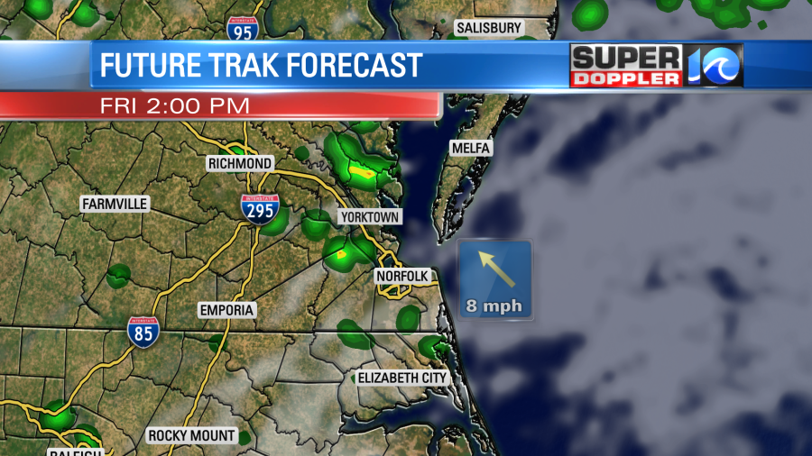
There could be a few heavy downpours and some ponding on the roads. High temps will be in the mid-upper 80s, but remember it will be super humid. Tomorrow the fronts will slowly weaken and drift north a bit. So we’ll have a little more sunshine. Temps will heat up a bit more too. They’ll rise to the upper 80s with a few 90s inland.

As we heat up we’ll develop some more scattered showers and storms on Saturday. Mainly in the afternoon.

By Sunday the fronts should fall apart and high pressure should get a little closer. So we should be partly cloudy with only a few pop-up showers and storms possible.
As we hit next week we’ll have high temps solidly in the 90s. The humidity will stay up through that time.

So the heat index will be in the 100s for at least a couple of days. Possibly for a long stretch. We’ll be talking more about that over the next few days I’m sure.
We aren’t the only country in the middle of a heat wave. Parts of European have had some record heat lately. One city in northwest Spain almost hit 110 degrees F the other day. Here’s the article with more information on that. European heat wave.
Meteorologist: Jeremy Wheeler