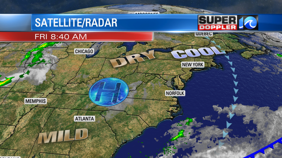
We will have some pleasant weather today. It will be very close to yesterday’s weather. We started with lots of sunshine and chilly temps.

However, the strong May sun this morning started warming up the temps quickly. By the mid morning we had risen from the 30s and 40s up to the 50s and 60s. We will warm up nicely this afternoon into the low 70s with the mid 70s inland.
There is a large area of high pressure well to our west at the surface with a weak upper level disturbance just off to our west.

The surface area of high pressure will bring quiet weather from the Great Lakes to northern Florida. However, the weak upper level low will allow for a few clouds to build up in our region during the afternoon. It could create a couple of stray showers in the area, but the chance is so low (10-15%) that it’s not good enough to put on the 7 day forecast.
Tomorrow we’ll be partly cloudy with high temps in the low 70s. Then on Sunday we’ll have partly cloudy skies with some isolated showers possible later in the day. (20% chance). High temps will be in the 70s. Overall, it’s looking like a great forecast!
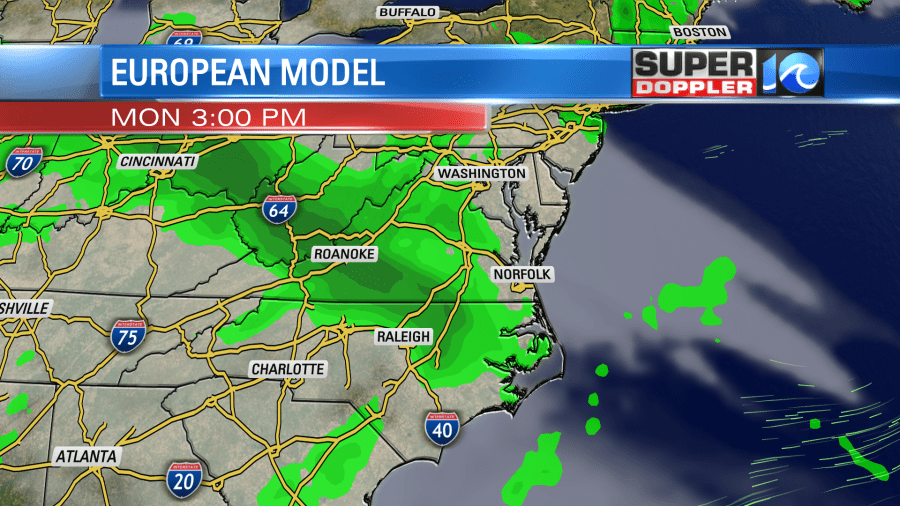
There will be more moisture by Monday. However, the models have started backing off the higher rain chances. I’m still calling for scattered showers, but I may have to drop the chance a bit. We’ll see. Here is what the European model shows later in the day.

Pollen levels are low-moderate today. They will hold steady through the weekend, but we will be leaving pollen season over the next couple of weeks.
Meteorologist: Jeremy Wheeler


