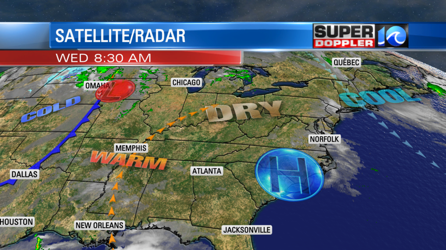
While we have enjoyed some very nice weather lately, we have also dried out again. The U.S. Drought Monitor continues to show a spreading drought, and now it is affecting our region.

There has been some rain and snow over the Rockies recently and parts of the west. A few locations had about a foot of snow. This could put a dent in some areas over the mountains, but the entire western U.S. still needs some long-term relief. Our region had some rain last weekend, but it wasn’t much over most of the area. The bulk of the region has only had a few tenths of an inch over the last 10 days.

Norfolk is down about 1.86″ of rainfall for the month. We are down 7.34″ for the year. Wow! Almost the entire viewing area is in the “abnormally dry” category on the Drought Monitor.

So I often say…. “If it’s not raining, then we might as well be comfortable.” So we have been. Yesterday was very nice out…as predicted! High temps were in the low 70s with a few upper 60s near the shore. We had a lot of sunshine. It was dry. A large area of high pressure has been parked just off to our west for the last couple of days, and now it is sitting over our region.

We’ll have lots of sunshine today with a light westerly wind. High temps will rise to the upper 70s this afternoon. Tomorrow the wind will pick up out of the southwest. There may be a few gusts to 20mph. We’ll have mostly sunny skies. This will push high temperatures up to near 80 or the low 80s.

Luckily it will still be dry outside. So although it will be about 10 degrees above average, it should still be fairly comfortable for outdoor activities.
We’ll have a strong cold front move into our area on Friday. Humidity and clouds will increase. It will be warm with highs in the upper 70s, but temps may fall later in the day. The models have gotten a bit wetter since yesterday (for Friday). So I’ve increased the rain chance to 50%. Here is the latest European model for Friday afternoon.

The showers won’t last all day. They will be isolated in the morning and scattered in the afternoon. I’m crossing my fingers to get a decent amount of rain, but we’ll see. The showers will decrease Saturday night into Sunday morning. A couple of isolated showers may linger as the front stalls out to our south.
We’ll cool down and dry out over the weekend. High temps will be in the upper 60s to low 70s.
Meteorologist: Jeremy Wheeler


