After a mild January that finished as the 11th warmest on record for our region – the first weekend of February will be far below average.
Saturday afternoon highs will only climb into the mid 30s across the region. With a breeze from the north and northeast, it will feel even colder when you factor in the wind. Wind chill values will be in the upper 20s through much of the day.
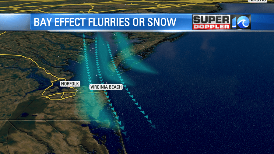
A few isolated snow flurries could occur Saturday morning. These bay effect flurries occur as the colder air comes down the bay over the warmer (relative) waters. As this happens the air rises and condenses into clouds. These clouds then can produce some light snow flurries. We most often see this along the coasts of Hampton/Poquoson, VA Beach, Norfolk and the Eastern Shore. Let us know if you see any!

Overnight, temperatures won’t be as cold but it will still be below freezing across the area. After a cold start Sunday morning, we’ll warm up into the low to mid 50s Sunday afternoon. This does come with a bit of a change though – as showers move back into the area during the afternoon.


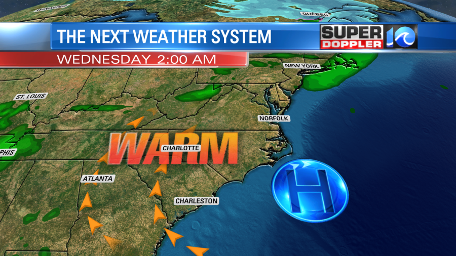
As we see more of a southwest wind towards the middle of the week, temperatures will climb into the upper 50s to low 60s. High pressure is over us through the middle of the week, but another front approaches late in the week leading to rain chances.


Stay warm!
Meteorologist Ricky Matthews
Follow Ricky on Facebook and Twitter


