
Yesterday a couple of small upper level disturbances kept the clouds around through the day. The darn things even brought a couple of sprinkles to the region. We had a small sliver of sun by early yesterday evening. However, today those upper level systems are kicking out to sea, and high pressure is building in.
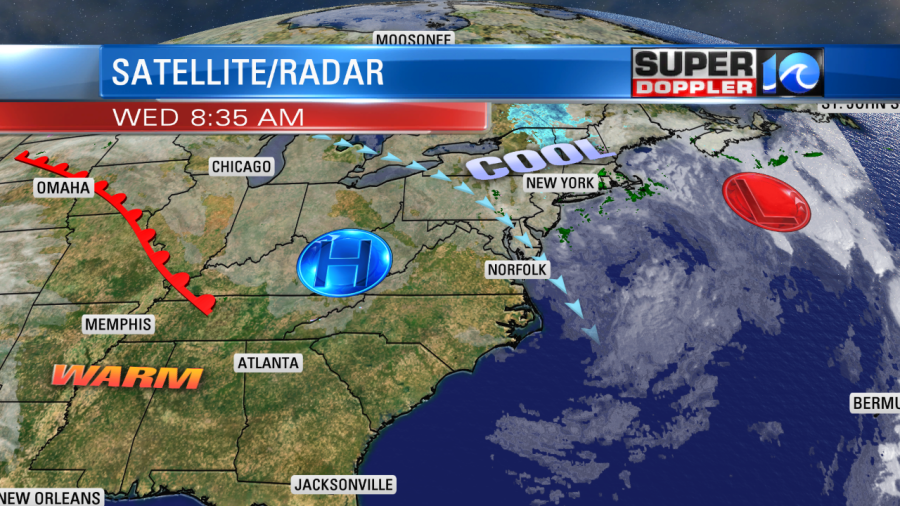
We already saw some sunshine this morning. We’ll have a good amount of sunshine through the day. As high pressure builds the wind will pick up out of the northwest. It will become a bit breezy with gusts up to 20mph at times, but this will finally allow things to dry out. With the cool breeze and the warm sun high temps will aim for the mid-upper 50s.
Tomorrow we’ll have lots of sunshine with lighter winds. High temps will be in the 50s again. Then by Friday the winds will be out of the southwest. This will bump the high temperatures up to the mid-upper 60s. We’ll have a mix of sun and clouds. The models suggest a few rain showers will move in late Friday. This looks like it will come from a brief surge in moisture ahead of a cold front. The front will arrive Friday night, and it will cool things down on Saturday. Highs will be in the 50s. An area of low pressure will form to our west along the front as it briefly stalls out over North Carolina. The low will move into the region Saturday evening. So we’ll have an increasing chance for rain between Saturday afternoon and Saturday night. The rain showers will then be pretty widespread from Saturday night into early Sunday morning. The timing for these features could still change, but that’s how things look so far. High temps will be in the 50s over the weekend.
Tropical storm Sebastien formed yesterday in the Atlantic. It is northeast of Puerto Rico, and it is moving generally north.

The tropical storm will move north today and then northeast. It will merge with a cold front by tomorrow. So it will likely be post-tropical by Friday morning. It will stay out to sea. It won’t have any impacts on the U.S.
Here is something interesting… We are in the middle of the Leonid meteor shower which stretches out for a good portion of November. It has already hit its peak. However, there will be another phenomenon tomorrow that could really put on a show. The Alpha Monocerotid meteor shower could potentially become a meteor storm. Some sources on the internet claim that there could be 400 meteors in an hour.

The problem is that this sudden rush could only last for a short-time (unlike the Leonids). So, from what I’ve gathered, it looks like about 11pm until 1am will be prime-time viewing. Give-or-take. Unfortunately, I’ll be asleep. The weather should be good for viewing in our region if you are up. Stay tuned for updates!
Meteorologist: Jeremy Wheeler


