The upcoming weekend forecast looks good! We have some chill in the air today, but we’ll warm up nicely on Saturday and Sunday. let’s talk about it.
High pressure is building into our region today from the west. Meanwhile, a cold front is moving farther offshore.
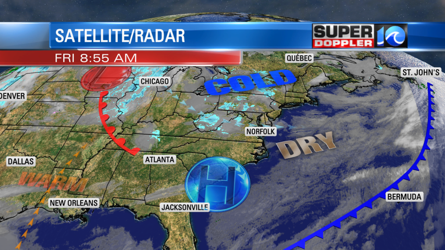
We will have a lot of sunshine through the day. However, cold air has sunk a little deeper into our area. So we’ll only top off in the upper 40s this afternoon for high temps.
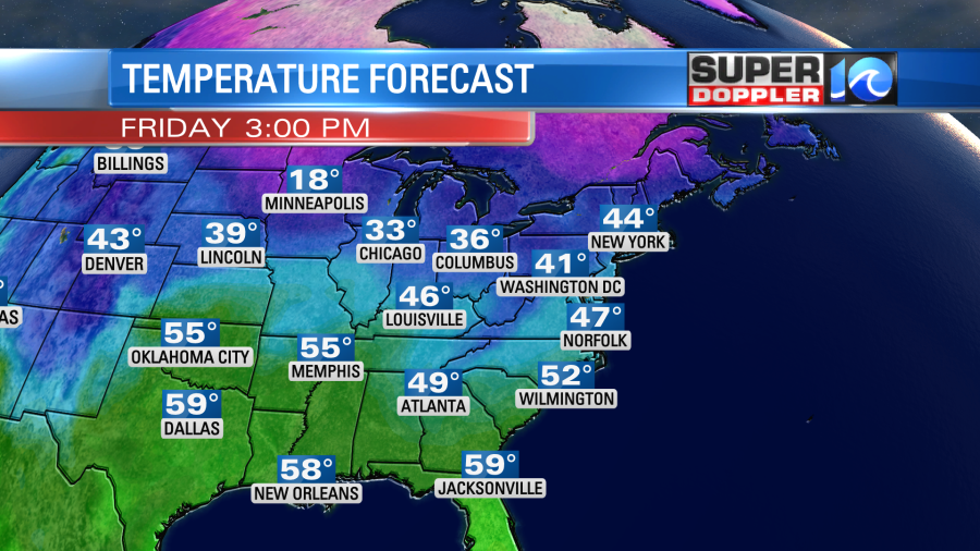
There will be a couple of 50s inland and south. At least the winds will be light. They will be out of the west.
Tomorrow we’ll still hold onto lots of sunshine as high pressure slowly edges east. We’ll also have a light southwest wind, and that will help to boost our high temps up into the mid-upper 50s.
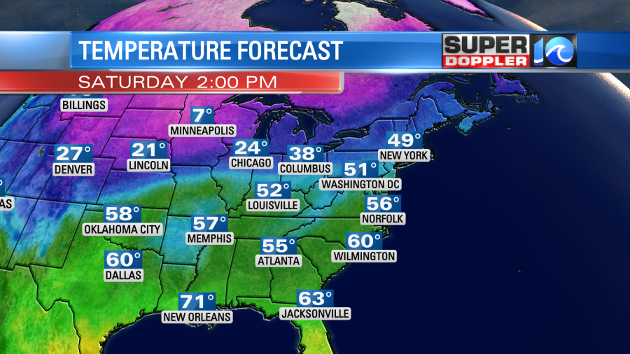
Sunday looks even better. We’ll have a little stronger south wind, and that will push our temps up to near 60 during the afternoon.
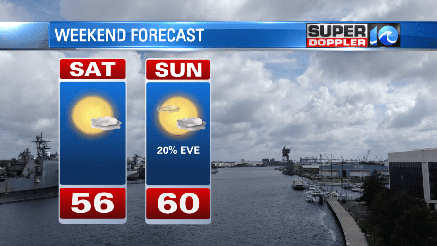
We should stay dry through the day, but some isolated showers may arrive by the early evening.
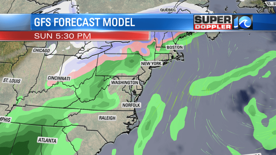
We’ll have more rain arriving Sunday night into Monday morning. This could impact the morning commute Monday. The showers should taper off as we go into the afternoon. High temps will be in the 50s. At the same time there will be some very cold air developing over the central U.S.

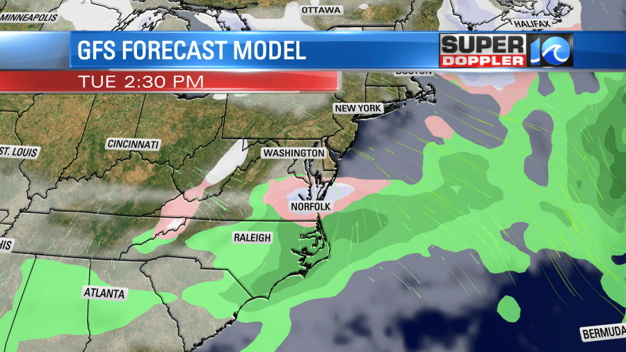
This colder air will start to push our way next week. (I mentioned this could happen a couple of weeks ago). As a matter of fact…the models are starting to hint at a couple of shots at a wintry mix next week either near or into our region. The first one is next Tuesday. The GFS model has a wintry mix over our area, but it also has high temps in the 40s.
The European model just a a handful of rain showers Tuesday afternoon, but it does have a mix late Tuesday night into Wednesday morning. At least close to us.
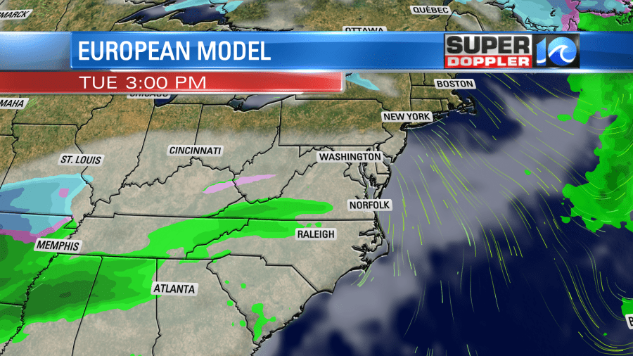
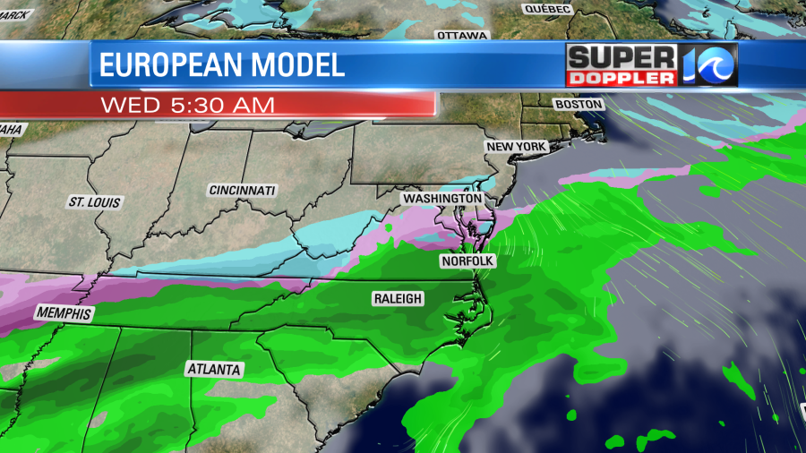
This will be a very fast moving system. So there will likely be some changes to the forecast before next week. It’s likely also why the GFS and the Euro are different.
The GFS model has us dry on Wednesday, but then it has another fast moving system on Thursday. The Euro has has some lingering showers on Wednesday. However, they both have some rain changing to a wintry mix and some snow on Thursday during the day. Possibly with some accumulations over at least parts of the region. I’m not even going to show this though as it is still far out in time. My gut says that the Tuesday mix will either be minor or will disappear. However, we’ll have to watch that Thursday forecast. It could be interesting. Stay tuned.
Meteorologist: Jeremy Wheeler


