I’m stuck, it’s stuck, everything is stuck….. Ok, I’m being a bit dramatic. However, this weather pattern is definitely stuck, and it’s not a good thing for this weekend.
Today we have high pressure to our north with a cool front falling apart and dropping south. Low pressure is far to our south.
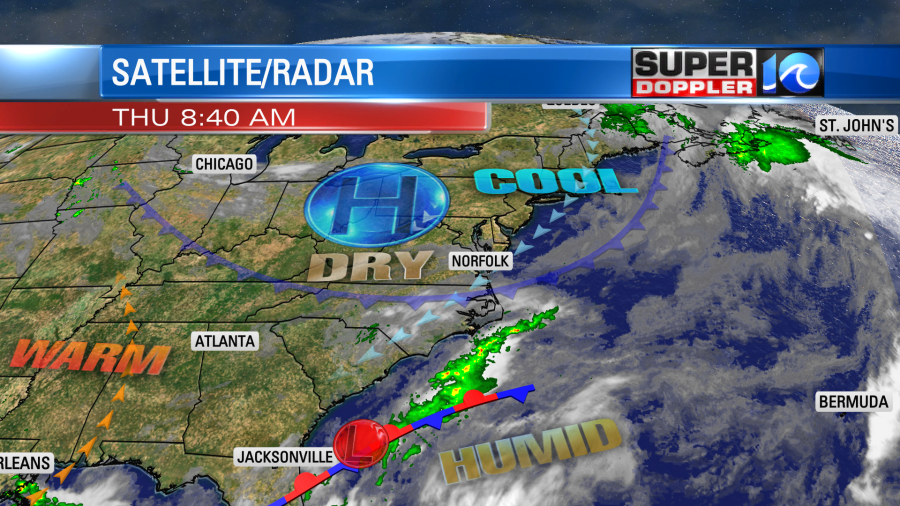
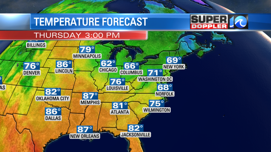
Here it is…We’ll have another day with that cool/pesky northeast wind. Gusts are up to 25mph already. I wouldn’t be surprised if we get a couple of gusts to 30mph near the shore. Skies will be partly cloudy, but the wind will keep temps down this afternoon. Highs will only be in the upper 60s with a few 70s inland and south.
It will be warmer in southern/central Canada than here. Wow!
Tomorrow will be similar, but clouds will increase a little more. Plus, there will be a few showers over the Outer Banks. Highs will be mainly in the 60s.
Unfortunately, the forecast has gotten wetter for Saturday. The GFS model had a decent amount of rain already. However, now the NAM and European models have rain moving in. Our model has finally followed suit. It has scattered rain showers. Especially in the afternoon.

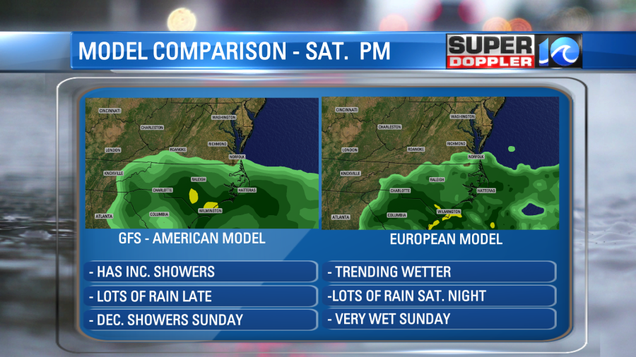
Basically the low that is to our south will creep north/northeast along the coast. It will probably stay just to our south (or southeast), but it will push a lot of moisture to the north. There is a low chance that the low could become subtropical in the next few days. We’ll see. Either way this will have a negative impact on the weather for Memorial Day Weekend. The rain looks to pick up even more Saturday night into Sunday. The GFS tapers the rain off through Sunday (very gradually). Meanwhile the Euro keeps Sunday very wet.
The long term models do hint at a little drying with less wind on Monday. However, I don’t want to get too specific as the confidence drops off in the Sunday-Monday forecast this far out. I am cautiously optimistic that things will be a little better and milder on Monday. Stay tuned for updates.
Speaking of updates… Super Typhoon Mawar is now moving away from Guam.

It is still a strong hurricane with a distinct eye. It actually has strengthened to the equivalent of a category 5 hurricane now that is moving off to the west. We will get a lot of reports of the damage today as the weather settles down there. Unfortunately, the updates coming in are not good. At least as of this writing no deaths have been reported. Here is the latest: Typhoon Mawar.
Meteorologist: Jeremy Wheeler