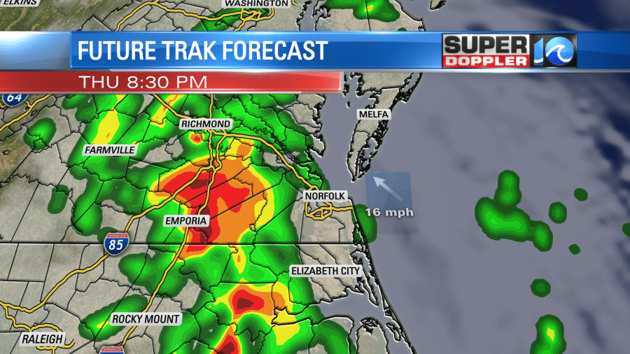
We’ve been watching Elsa for over a week now, and as the storm approaches it will be rather quick but could pack a punch. This storm is moving north around 15 mph, and widespread rain is moving across Florida and Georgia.
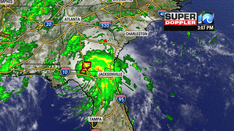
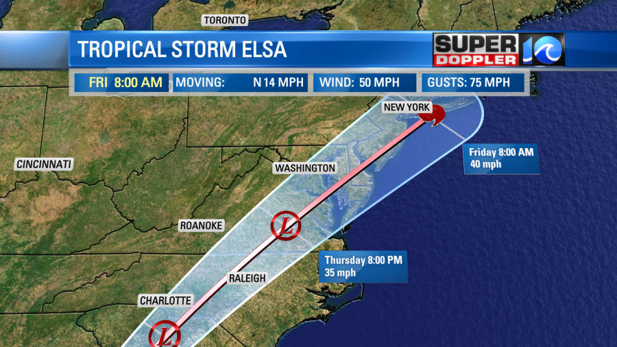
The track of this storm has shifted to the west, but the impacts will still be felt all across the region. You have to keep in mind that the cone is only there to show the uncertainty of where the center of the storm could be.
The outer bands of Elsa could bring some scattered showers ahead of the main part of the system. This could be as early as Thursday morning. But the bulk of the rain will be from noon to midnight.
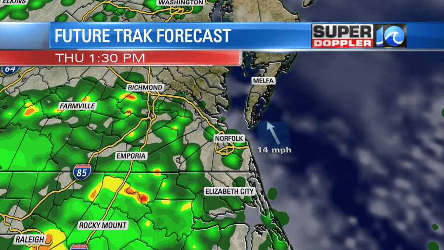
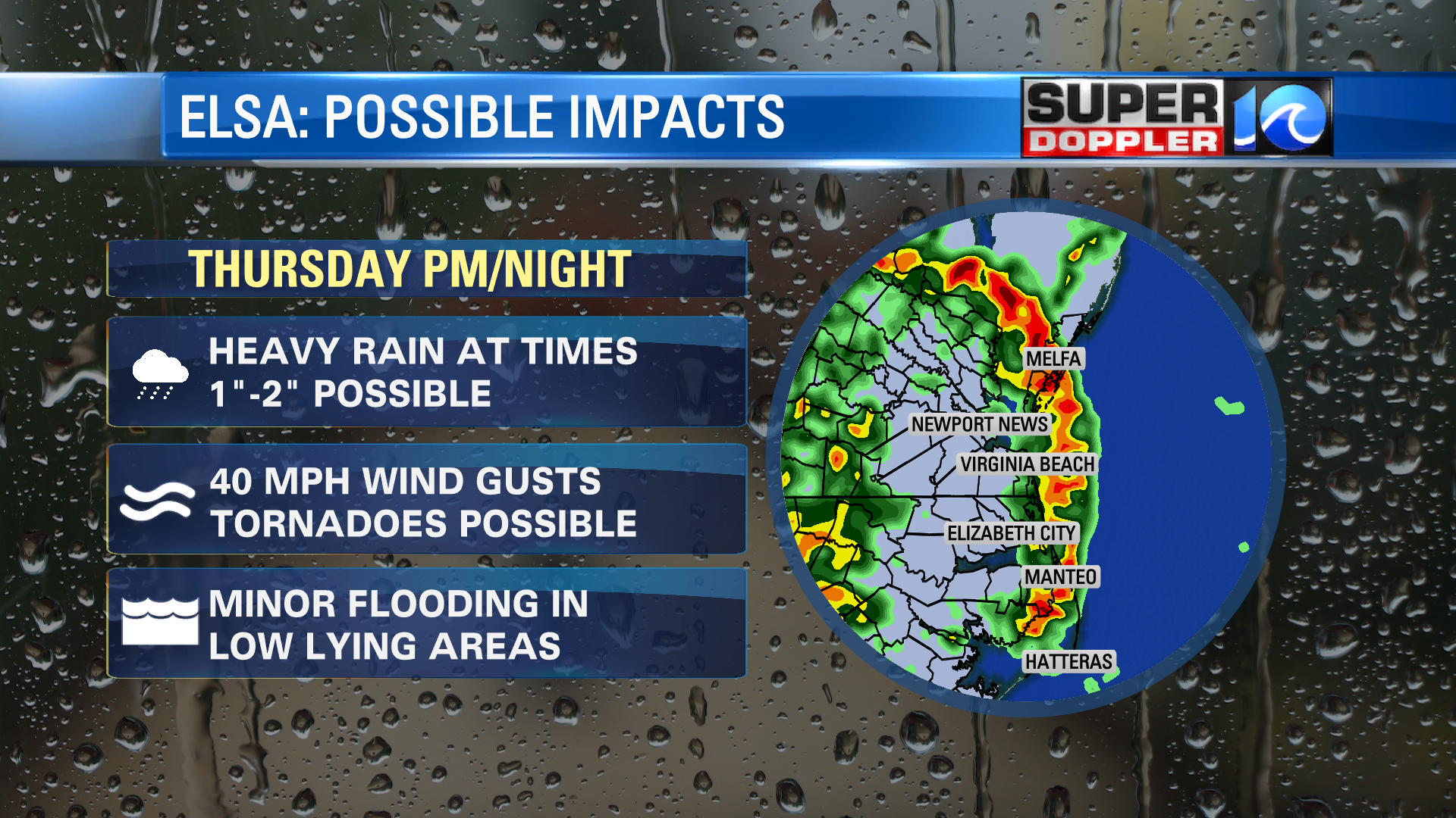
There could be some very heavy bands that create flash flooding, and closer to the coast there could be some isolated tornadoes. Typically, we see quick spin ups to the east of the center of a hurricane so that’s where we’ll be watching!
This certainly isn’t the storm of the century, but a good practice storm to make sure you are prepared for the rest of the season. Here’s what to look for in specific regions:
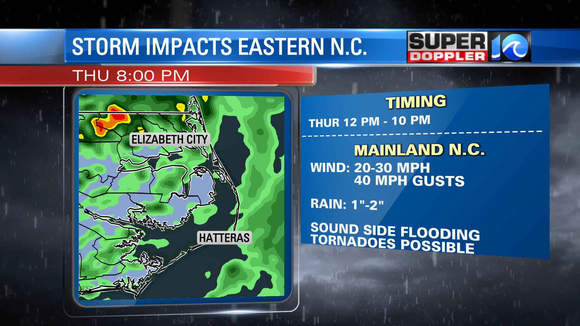
Overall, this storm will move through the region fairly quickly! But it could pack a punch as it does. So we’ll be keeping a close eye on what to expect. Stay tuned for updates over the next 24 hours!
-Meteorologist Casey Lehecka


