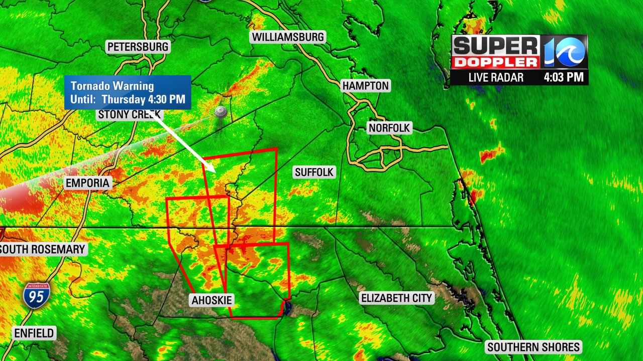
PORTSMOUTH, Va. (WAVY) — We have been watching Elsa for over a week now, and as this storm system moves through the region there have been several tornado warnings. This was for parts of Hertford, Northampton, and Gates Counties in North Carolina and Southampton & Isle of Wight counties and the City of Suffolk and Franklin.

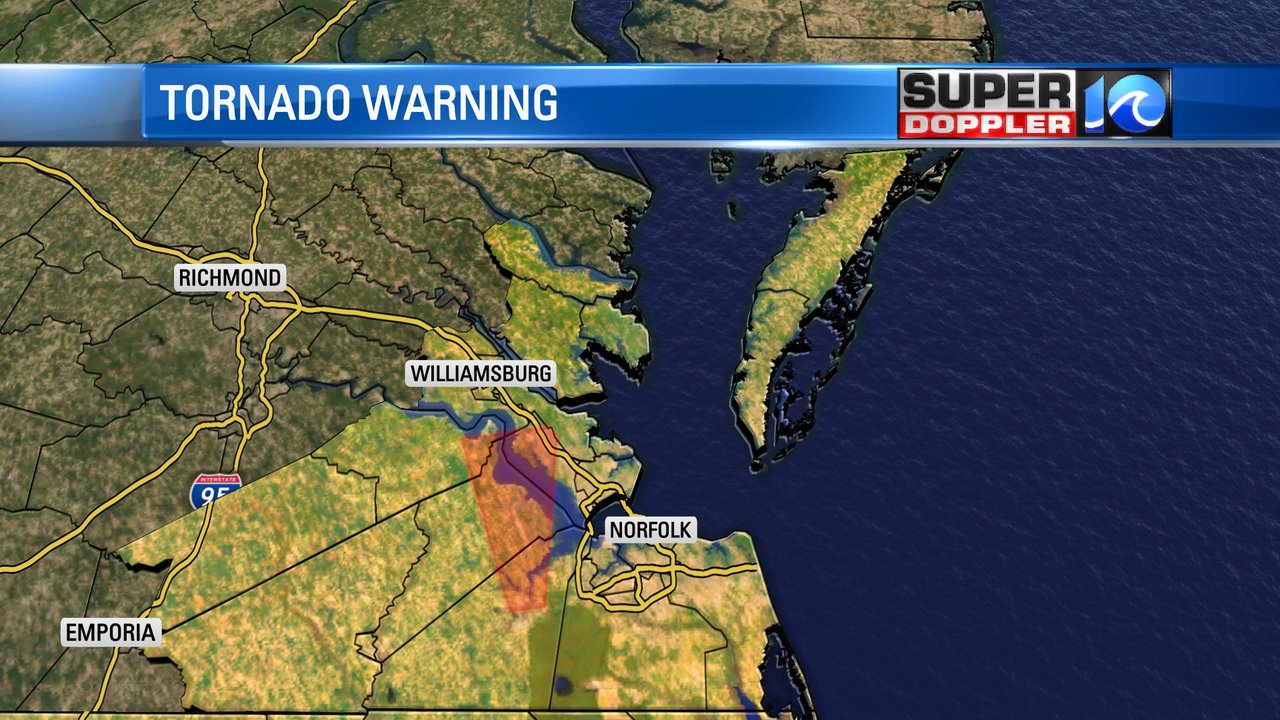
Then a third tornado-warned storm popped up around 6 p.m. which moved through parts of Suffolk, Isle of Wight and Newport News and Surry. These quick spin-ups pose a threat of wind, heavy rain and flying debris. The tornado watch is in effect until 11 p.m. tonight.

Since then there have been a few more tornado warnings that have popped up. A similar pattern of quick spin-ups before dying down a bit.
Those storms brought some heavy rain and gusty winds, but some other areas have only seen some steady rain which amounted to half an inch so far.

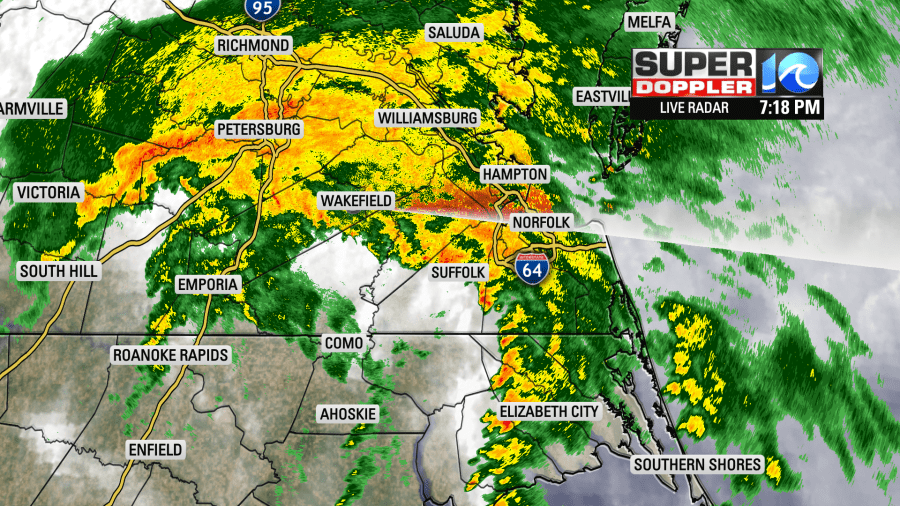
Storms continued to pop up on and off through the evening but didn’t last very long. There has been a lot to watch for in several storms, and when the center of a tropical system is off to the west, tornadoes are very likely. We thought this might be the case and it has played out as expected.

Most of the rain is moving off to the north around 40 mph, so it is moving very quickly. Be prepared for low-lying flooding, especially for areas closer to I-95.
Much of the rain and storms will be moving out of the region by midnight, and we’ll be clearing out by early Friday morning. In total, it was a 12-hour storm but really packed a punch through the evening hours.
Elsa now continues to move off through the northeast and will be out to sea shortly. We’ll keep you updated on-air and online as we continue to follow this system.
-Meteorologist Casey Lehecka


