Our area is starting to need rain again. Some spots like the Eastern Shore haven’t really stopped needing rain for the last few months (with a short exception). We are not as bad as the central U.S. When you look at the U.S. Drought Monitor it shows a large area of “Extreme” and “Exceptional” drought out there.

Our region has some pockets of level 1 drought “Abnormally Dry”. However, the Eastern Shore has an area of “Moderate Drought.”

We are already a little bit behind the average for the month of October even though it is still early in the month.

We are actually close to average for the year which is about 40″ of rainfall up to this point. However, the more pertinent number is the amount of rainfall since September 1. We’ve only had about 1.34″ since that day. This is about 3.6″ below average.
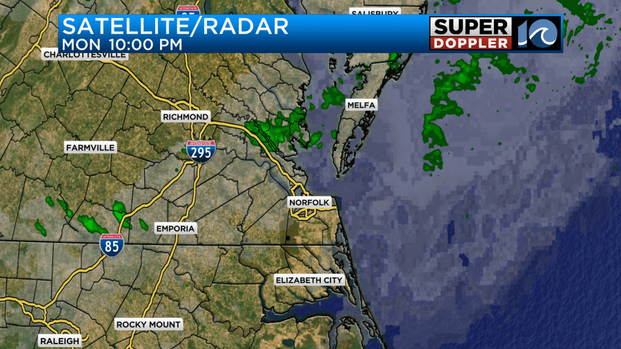
Last night we had a couple of sprinkles and showers in the area, but they were mainly north of Hampton Roads.

This was from a weak upper level disturbance that quickly scooted through. At the surface high pressure is offshore with a weak area of low pressure to the west.

There is a weak warm front to the east of the low and a weak cool front to the west of it. All of this will stay to the west of us during the day. We’ll warm up a bit today with light winds out of the southwest. We had some scattered clouds this morning, but we’ll have lots of sunshine this afternoon. High temps will rise to the mid 70s. It should be very nice out.

The air is still very dry. Dew points are in the 40s.

Tonight the weak low (and fronts) will slide to the east and over the area. We will have increased clouds with a few spotty showers and sprinkles. There likely won’t be enough rain to add up in the rain gauge. The dry air will eat up most of the rain showers as they move in from the west. Tomorrow we’ll be partly cloudy for a while, but clouds will increase late in the day. High temps will dip just a bit. They’ll be in the lower 70s.

Winds will be light and out of the north. By Thursday we’ll be tracking an area of low pressure to our south. The origin of this low will be either 1: the remnants of Lidia in the eastern Pacific near Mexico, 2: a weak disturbance in the southwestern Gulf of Mexico.

Or it could be 3: the 2 lows combined (but not strong). Either way the low will be non-tropical as it moves east/northeast and wraps up into a cold front.

The rain should stay to our south, but it may get close enough to strafe the southern Outer Banks.

If it tracks just a little more to the north, then the forecast could change. For now I’ve got a mix of sun and clouds with high temps in the 70s. Friday will be quiet and mild. High temps will be in the upper 70s to near 80. Then a stronger low will drop out of the Midwest on Saturday. That will bring us lots of clouds and some scattered rain showers.

The timing stinks, but at least Sunday looks drier. We’ll have more on that over the next couple of days.
You saw the Tropical Weather Outlook graphic above. The disturbance in the eastern Atlantic still has a high chance of formation, but again… It would likely stay out to sea.
In world news … I caught an article this morning about a big heat wave in Europe that is ongoing. Apparently, they are running about 10-20 degrees above average over there. Many records are breaking. Here is the article with more information: Europe heat wave.
Meteorologist: Jeremy Wheeler


