Another storm system is developing across the country right now and this storm will bring snow to more areas, and likely for us in Hampton Roads.
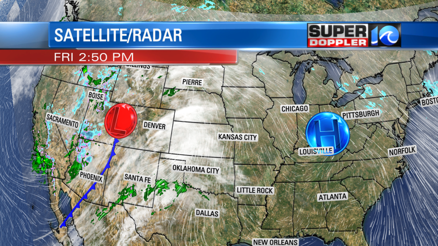
That area of low pressure will bring a swath of snow from the Midwest, all the way towards our area. So let’s look at the latest model data. As a side note, I prefer the Euro model right now because I believe it sees the cold air sticking around the longest into the weekend.
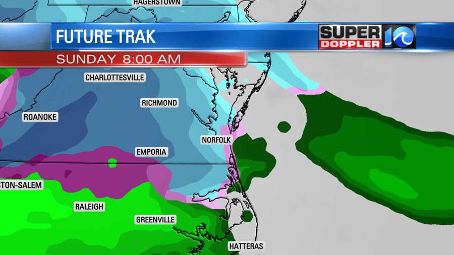
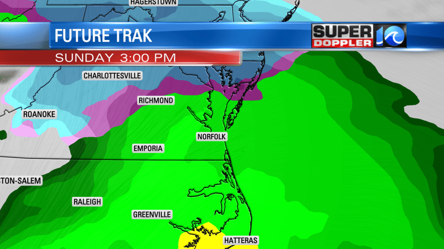
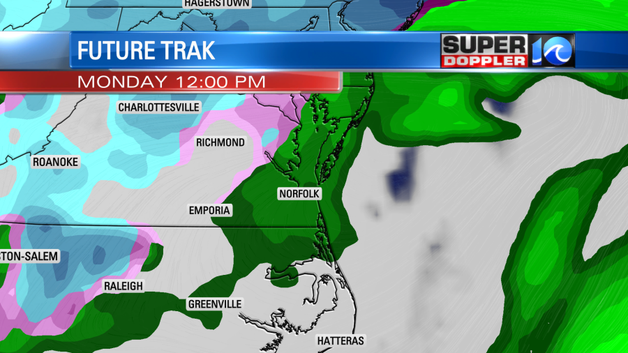
The snow could be falling as early as 3 a.m. Sunday and it will likely be light in the morning. By 7-8 a.m., it may be much heavier. Warmer air will move in from the south during the day, so we will go from 29 degrees in the morning to 49 degrees by the late afternoon. As you see by the model, we should see all rain eventually across Hampton Roads. Rain falling on snow is like a 60-degree day to snow, it will melt it fast. Road conditions could be slippery Sunday morning, and then by the evening, just wet.
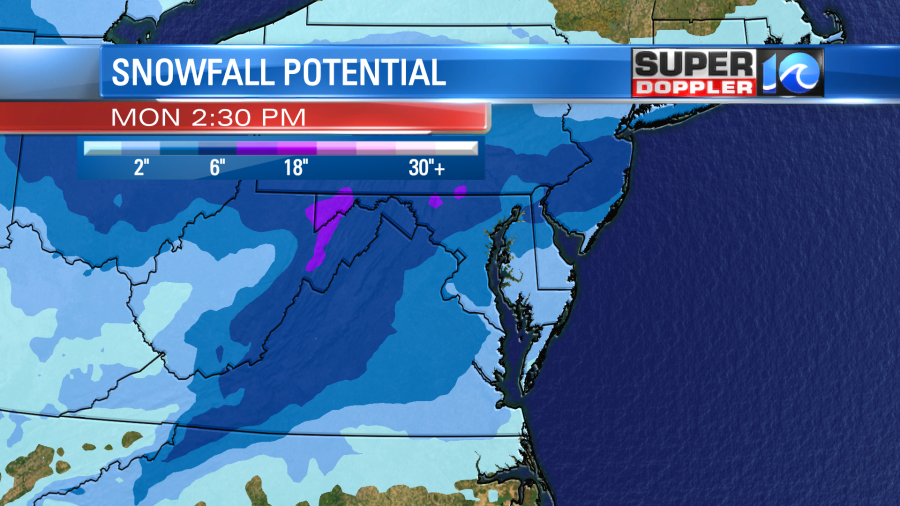
We could easily see snow in the morning before the rain melts it away. Right now a good 1 to 3 inches is possible across our area. Just to our north, including Richmond, more than 6 inches is likely. The swath of snow will be likely from here all the way to Iowa.
Casey Lehecka and Steve Fundaro will be in all weekend with updates here on our blogs and with Facebook Lives.
Meteorologist Jeff Edmondson


