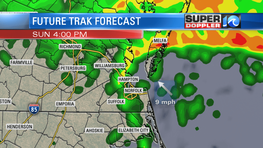
As this storm system is making its exit, it’s leaving us with a soaking rainfall to end the weekend. There has been steady rain over the past couple of hours and some heavy downpours. Not a good day for any outdoor plans!

Nestor weakened significantly once it came in contact with land and is basically a widespread low pressure system now. It did have some severe weather yesterday in the south but it has run into some stable air so the threat of any severe weather is very low today. The other problem you’ll notice is the wind speed! We’ll have wind gusts close to 40 mph around the OBX, and up to 30 mph elsewhere. Hold onto your hat!

Through the rest of the afternoon and evening, the rain will continue to move NE. So NE NC will start to clear out first later this morning/ early afternoon then the Southside. Between 2-4, the Peninsulas, Northern Neck and Eastern Shore will start to clear out. So there will be some dry time this evening if you need to run any errands.

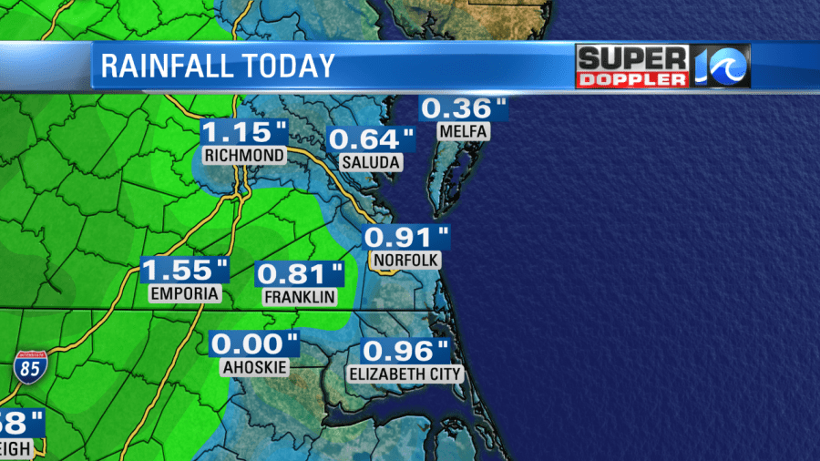
We’ve seen a decent amount of rainfall so far and there still is more to come. These totals are from the latest update around 10:30AM.

High tide this afternoon is at 2:30, there could be some nuisance tidal flooding so if you’re in an area that is prone to it, keep that in mind!

Due to some dry air behind this system, it might wrap up a bit quicker than we originally thought, but we’ll still have a cloudy sky for much of the day. Hope you can have a lazy Sunday and enjoy some time indoors!
-Meteorologist Casey Lehecka


