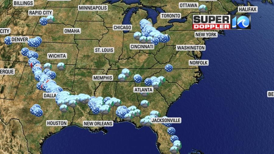
We are going to see some storms today, but the weekend forecast looks awesome! Let’s talk about it. Yesterday we had a cool front to our south. This was attached to a stationary front that helped to create more severe weather (and tornadoes) across the Deep South and the Plains States.
We had highs in the low 80s here with some fairly dry air. It was nice! However, today the front is lifting north as a warm front.
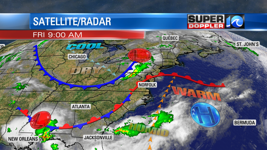
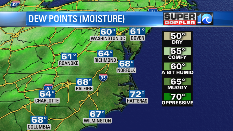
So we are going to be warm/hot with high humidity. Dew points have already climbed into the 60s, and they will be rising.
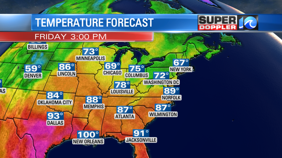
Temps will aim for the upper 80s this afternoon with a couple of 90s inland.
While we heat up today there will be a cool front moving in from the northwest. This will create a focus for some storms later today. We’ll be partly cloudy for a while. Then some isolated showers will pop up around midday. As we head into the mid afternoon scattered storms will form.
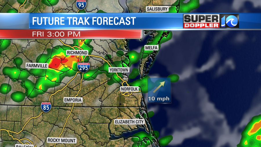
The storms will expand and move southeast into the early evening.
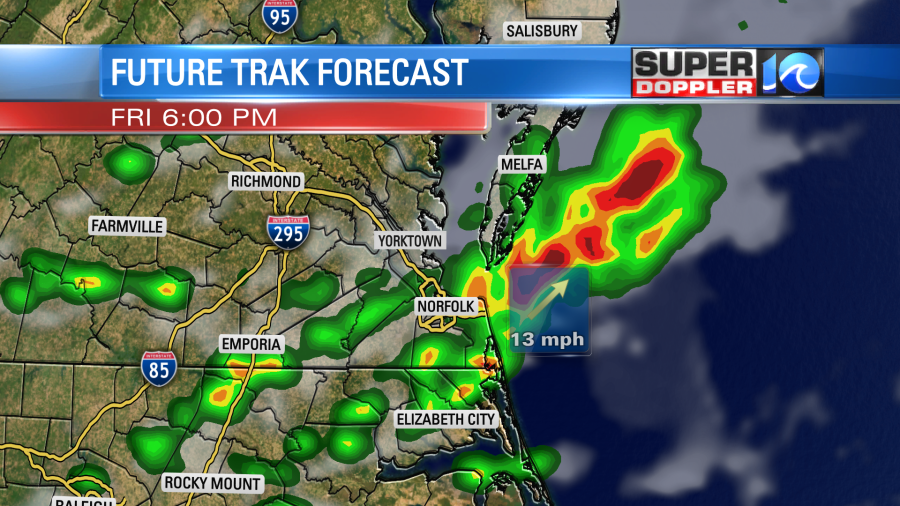
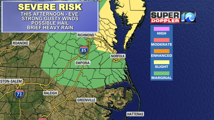
There will be a high amount of instability. Unlike the last time we had storm chances, there will also be some minimal wind shear today. That is basically the amount of increasing wind with height, and it can support severe storm formation. So there is a slight risk for severe weather for parts of the region with a marginal risk farther south.
Wind will run out of the southwest at 8-12mph until the front arrives. Then the wind will turn out of the northwest this evening.
Tomorrow we will have some great weather! The front will sink to the south. We’ll have mostly to partly sunny skies. The air will dry out nicely as the dew points drop to the 50s.
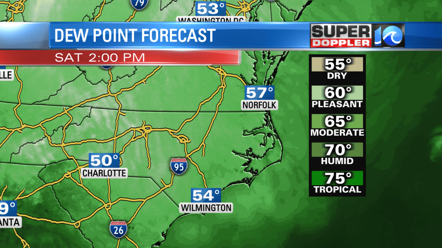
High temps will be in the low 80s.
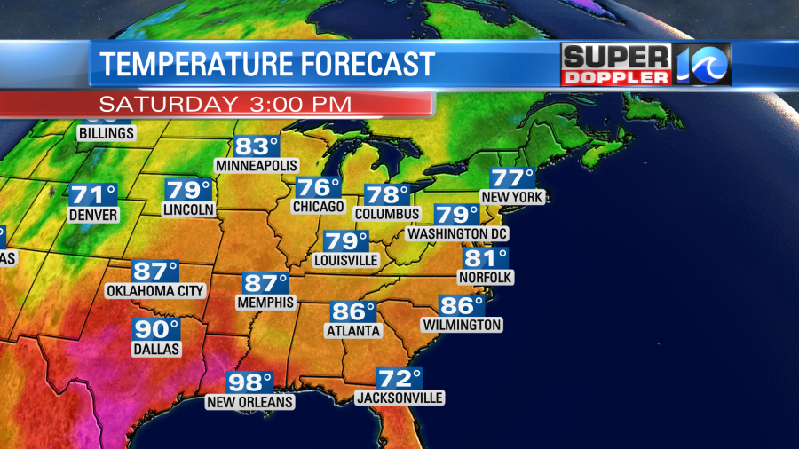
We’ll have some awesome weather on Sunday for Father’s Day. We’ll be mostly sunny with highs in the mid 80s.
The weather still looks pretty good on Monday for Juneteenth celebrations. We are looking partly cloudy with only some isolated showers.
After that the forecast confidence drops big-time. The models have had various types of lows zipping around the east coast for parts of next week. Some fast. Some slow. Some big. Some small. It has been a wild swing in the models. This morning they have a slower system that will linger to our south. They have actually dried us out dramatically (for that time period) over the last 48 hours.
We do still need some rain. We may get about a quarter to a half an inch of rain today.
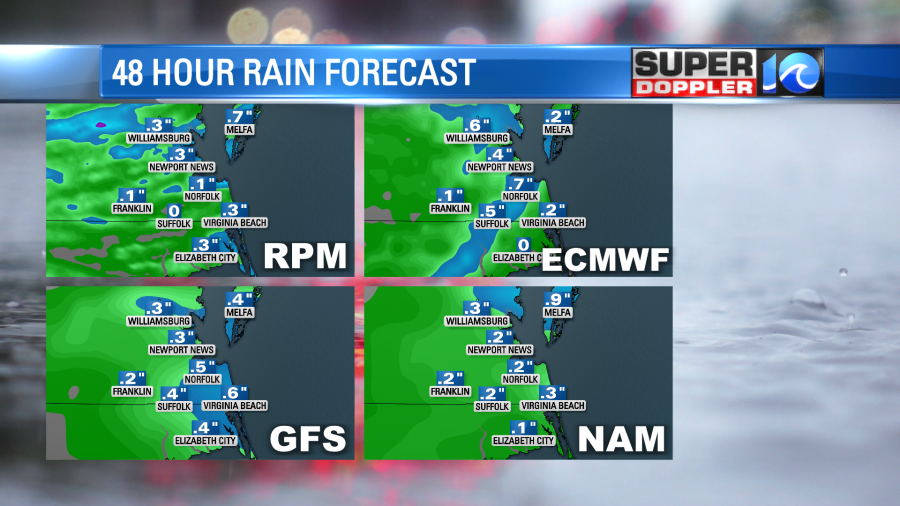
However, we are down about an inch and a half for the month and we have a 4 inch deficit for the year. We have plenty of time to watch that. Stay tuned for updates.
Also…There is a weak feature in the eastern Atlantic. It is moving generally west. It has a medium chance of formation over the next few days.
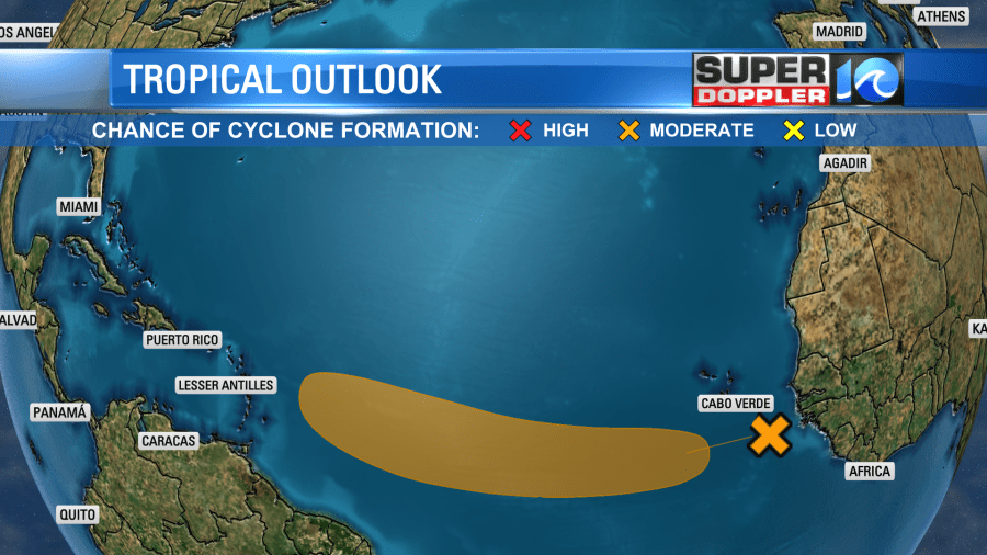
We have plenty of time to watch it. The latest GFS doesn’t do much with it.
Meteorologist: Jeremy Wheeler


