I attended the Mid Atlantic Severe Weather conference over the weekend. There were some good topics, and a decent amount of people. It was at the Science Museum in Richmond on Saturday.
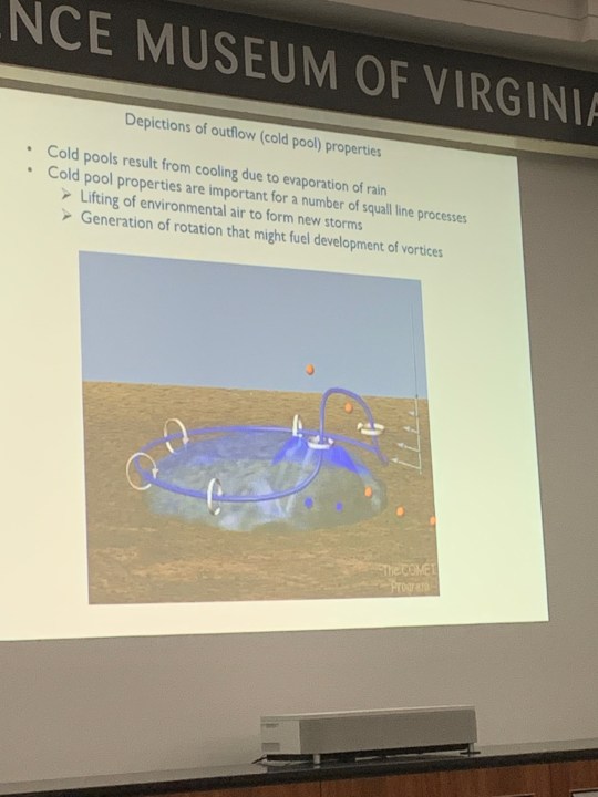
There was a lot of talk about stormchasing and tornadoes. When I got back home on Sunday I worked outside raking leaves. It was actually pretty warm in the sun. High temps were in the upper 60s at Norfolk, but it was in the 70s in most other locations.
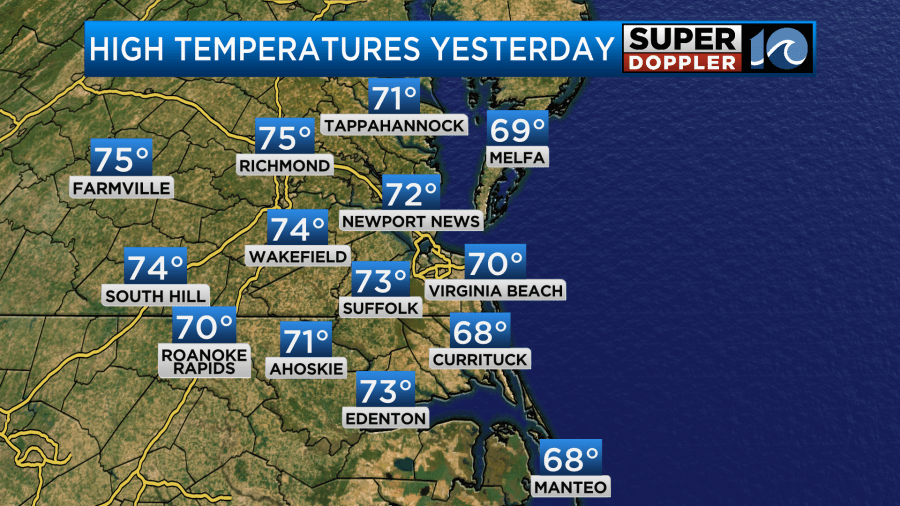
It was nice weather yesterday, and we are going to have similar weather today. High temps will be near 70 in the metro with low-mid 70s in most other locations.
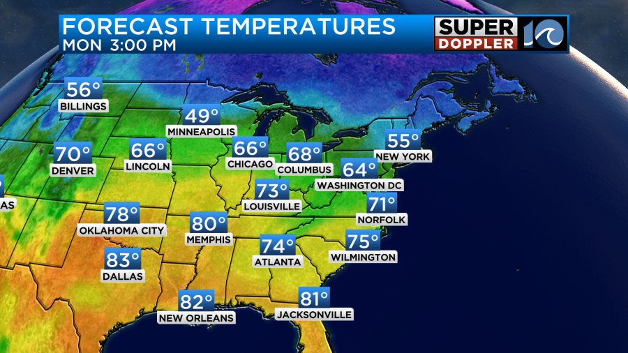
We have a large area of high pressure over the region. This will bring us a lot of sunshine today. Winds will be light and variable.
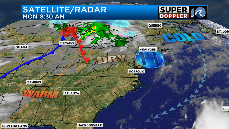
Tomorrow we’ll develop more of a southwest wind at 10-15mph. We’ll start with some clouds, but they should break up by midday. This will allow temps to rise up into the mid-upper 70s. If the clouds hang tough through midday, then it may be more in the mid 70s. Either way it will be warm and breezy for Election Day.
By Wednesday a cold front will drop into the region, and it will stall out just to our south. High temps will drop to the 60s.
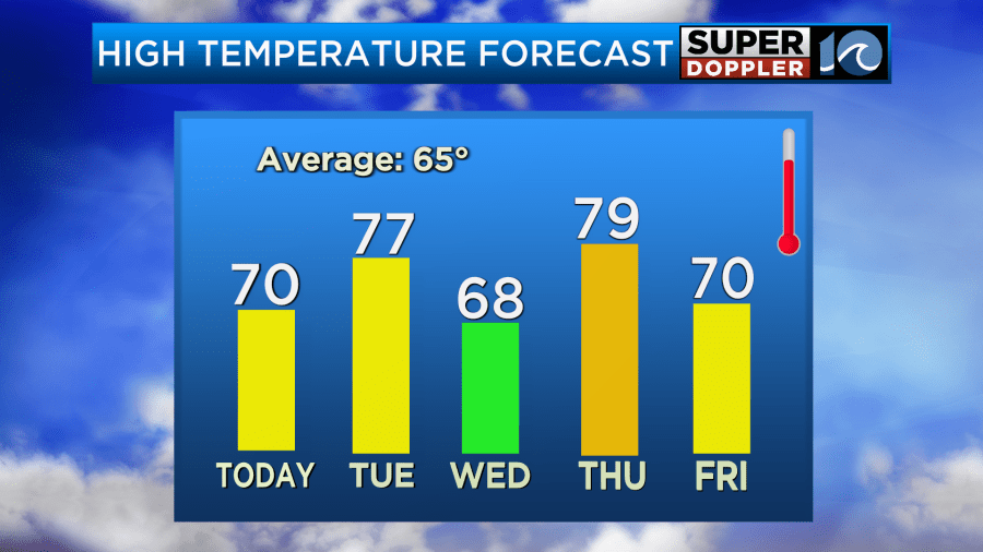
The front will swing back north on Thursday, and that will bump the high temperatures up to the upper 70s. Normally, when you have big swings in temperature like this you get some rain. Unfortunately, we aren’t expecting any rain this week except for a slight chance on Friday. A strong cold front will swipe through that day, and it will drop our high temps to the 50s and 60s next weekend. I’ll talk more about next weekend’s forecast in tomorrow’s weather blog.
Things are finally quiet in the Atlantic. No systems are expected to form in the next 48 hours. Time to throw a party! It has been a long time since we’ve had zero threats.
Meteorologist: Jeremy Wheeler


