The cold air is definitely in place this morning. I had to scrape frost off of my vehicle for the first time in months. Temps started in the 20s and 30s as expected. We have a big area of high pressure that is right overhead. It is creating clear skies across the region.
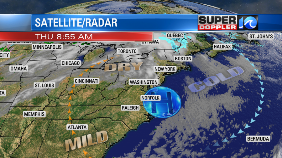
The high will slide a little east today. That will allow for a light south wind to develop. Between this and the ample sunshine we will warm up to the upper 50s later today. There will be a couple of 60s south. Dew points are in the 20s and 30s. So we have some very dry/fresh air in place.
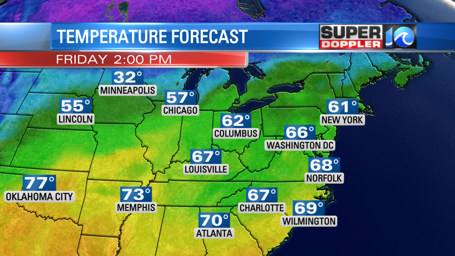
We’ll be dry and milder tomorrow. High temps will rise to the upper 60s.
We’ll have lots of sunshine with a steady southwest wind. Then we’ll have fair skies over the weekend with high temps in the upper 60s. We’ll have a slight chance for rain on Monday, but the better chance for rain looks like it will arrive around Wednesday evening or Wednesday night. This could be a problem for holiday travel. The timing may change though. So stay tuned for updates.
The tropics are pretty quiet right now. Thank God! There is one area of disturbed weather north of Panama, but it has a very low chance of formation.
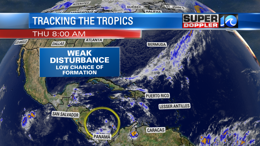
Hopefully, things stay quiet for the rest of hurricane season. It officially ends at the end of the month.
Meteorologist: Jeremy Wheeler