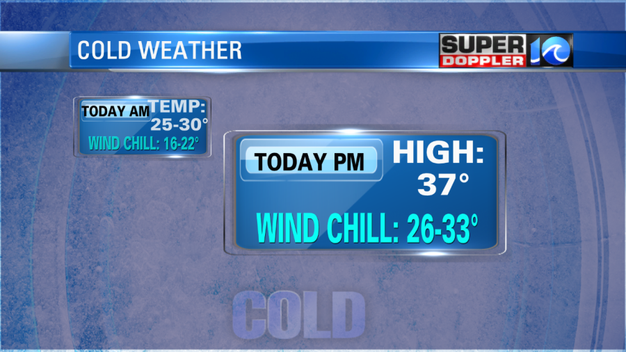
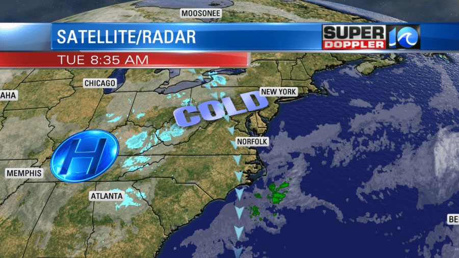
Yesterday we ended up in the mid-upper 30s as forecast. Today we will see very similar weather with some subtle differences. High pressure is locked-in to our west. We still have that strong northerly breeze today.
Wind chills were in the teens and 20s this morning. Winds were gusting up to 25mph. Through the day we’ll have lots of sunshine, but high temps will only rise to the mid-upper 30s. There will be more clouds across the Outer Banks and possibly a couple of sprinkles or flurries.
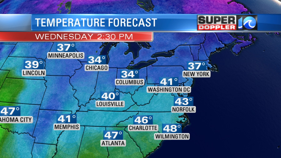
We’ll have similar weather again tomorrow, but the winds won’t be quite as strong. We’ll lose the strong gusts. So with the mostly sunny skies our high temps should be able to reach the 40s.
We’ll warm to near 50 by Thursday with partly cloudy skies. Then we’ll be in the low 50s on Friday with increasing clouds. There may be some spotty showers late in the day. We’ll warm up on Saturday to the upper 50s. However, there will be some rain showers in the morning. This will be an area of low pressure sweeping through the region from southwest to northeast. The models have sped up the timing of the precip since yesterday. The good news is that now it looks like we’ll clear by the late afternoon. Stay tuned for possible updates to the timing of that feature.
Meteorologist: Jeremy Wheeler