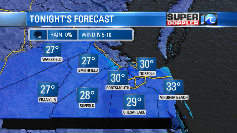
Before Hampton Roads slowly thaws out this week from the grip of this winter-like air mass, we’ve got one more cold night to get through. Be sure to dress accordingly Monday morning as temperatures will be on either side of 32°! (at least it’s helping to get us in the holiday spirit).
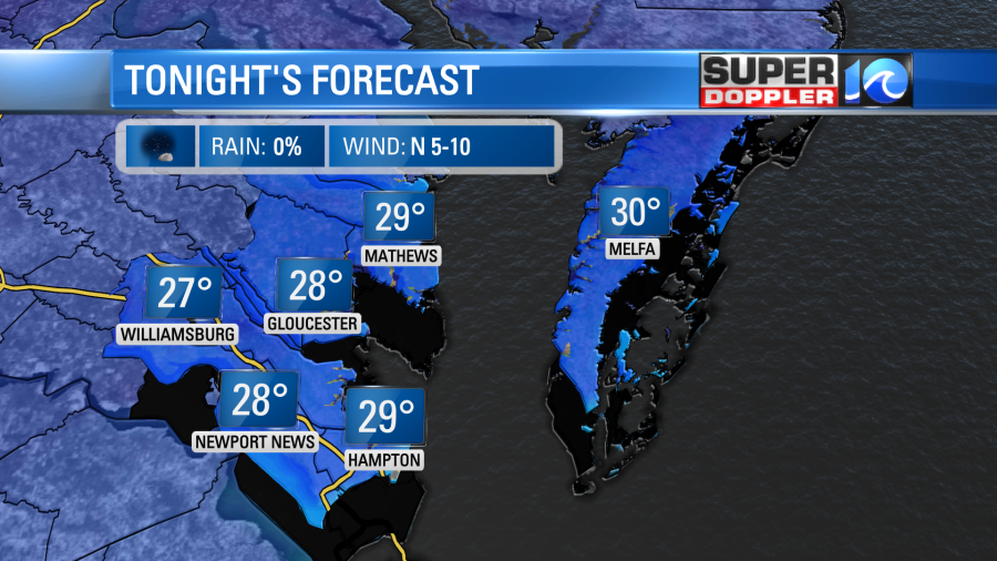
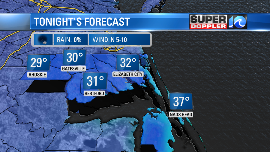
After our Sunday afternoon temperatures held in the 40s, they’ll quickly drop through the 30s tonight. Expect temperatures around dawn Monday to be at or below freezing with 20s likely away from the waterways.
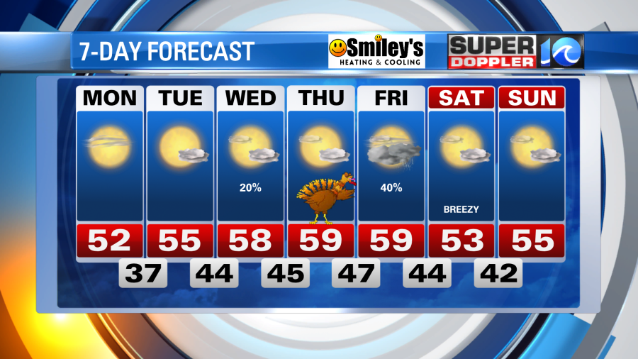
Fortunately, a big area of high pressure will build into the region tomorrow, this will help guide temperatures into the low 50s with lots of sunshine. It will also help keep that trend going – expect temperatures to climb into the 50s both Tuesday and Wednesday with just some passing clouds.
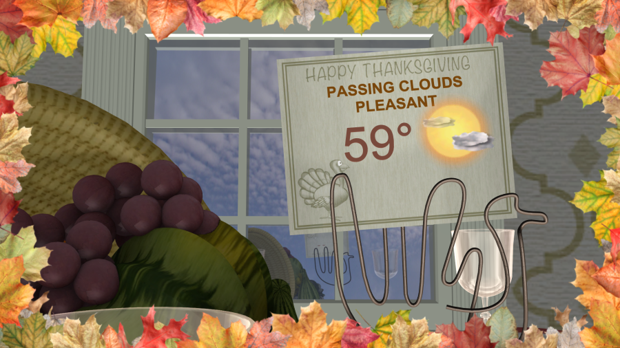
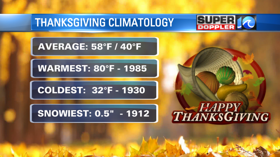
Thanksgiving itself could be the nicest day we’ll have this week – temperatures up near 60° with some passing clouds.
It’s trending dry as of now, which is great, but as our next system develops rain chances return on Black Friday and into the weekend. As of now, we’re slated for scattered showers on Black Friday with the potential for cold air to return by the weekend. Keep an eye on the forecast as we gather more details.
Meteorologist Steve Fundaro


