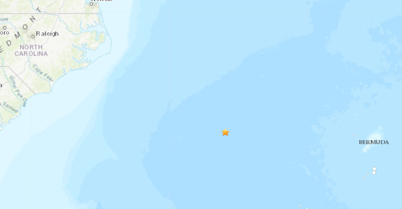
OUTER BANKS, N.C. (WAVY) – A 4.5 magnitude earthquake has been reported more than 350 miles off the North Carolina coast Tuesday, according to the U.S. Geological Survey.
The earthquake, which struck just after noon, was at a depth of about 6.3 miles and was about equal distance from the U.S. East Coast and Bermuda.

So far Tuesday, the USGS has measured 36 earthquakes, including four of magnitude 2.6 or less near Puerto Rico.
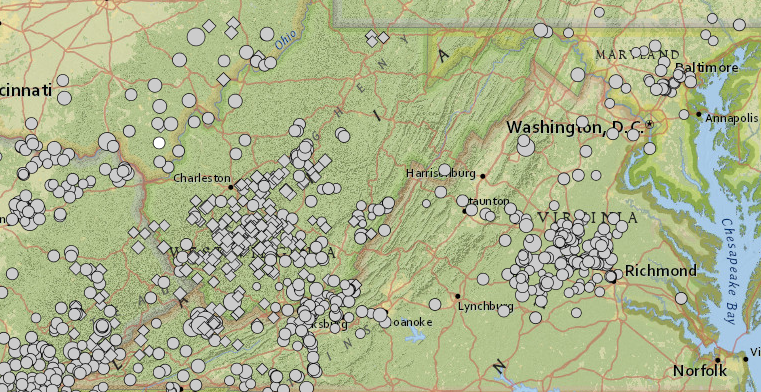
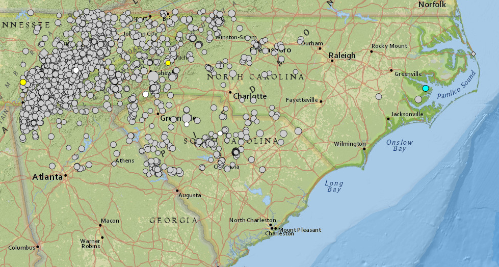
Historically, East Coast waters and coastal Virginia and North Carolina experience few earthquakes, according to USGS historical data dating back to 1900.

In Virginia, the USGS has recorded just one earthquake in the Hampton Roads region, a 2.9 magnitude earthquake about eight miles north of Williamsburg on Aug. 3, 1995, though there have been numerous other earthquakes in the central and southwestern parts of the state, with a few in the upper northern regions of the state.
The largest earthquake in state history was a 5.8 magnitude earthquake recorded Aug. 23, 2011 in Mineral, Virginia, in Louisa County, in the central part of the state. it was the largest earthquake on the East Coast since the magnitude 5.8 earthquake in 1944 near Cornwall and Massena, New York, according to the U.S. Geological Survey.
Before that, the largest earthquake recorded in Virginia was the 1897 magnitude 5.8 Giles County earthquake, according to the Virginia Tech Seismological Observatory.

Off the coast of Virginia and North Carolina, there was a 2.6 magnitude earthquake recorded Feb. 9 about 18 miles off the coast of Greenbackville on Virginia’s Eastern Shore. In 2019, there was a 4.6 magnitude earthquake recorded about 137 miles southeast of Ocean City, Maryland, and on May 5, 1990, there was a magnitude 3.7 earthquake recorded 221 miles off the coast of the Outer Banks, and a 4.0 magnitude earthquake about 281 miles off the North Carolina coast on Nov. 7, 1986.

In coastal North Carolina, the USGS recorded a sonic boom recorded about 3.7 miles south-southeast of Nags Head in 2015, along with a magnitude 2.1 earthquake recorded eight miles south-southwest of Kinston on June 24, 2013, a 3.6 magnitude earthquake recorded Aug. 6, 1994 about 2.5 miles south-southwest of Bayboro, not far from New Bern, and a magnitude 2.9 earthquake recorded about 4.3 miles northwest of Hobucken on Feb. 11, 2014.


