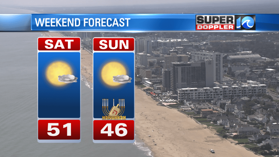
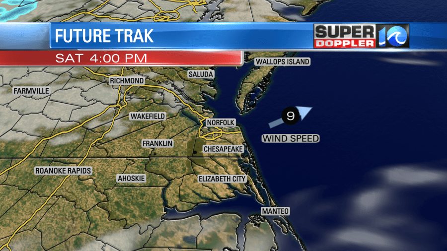
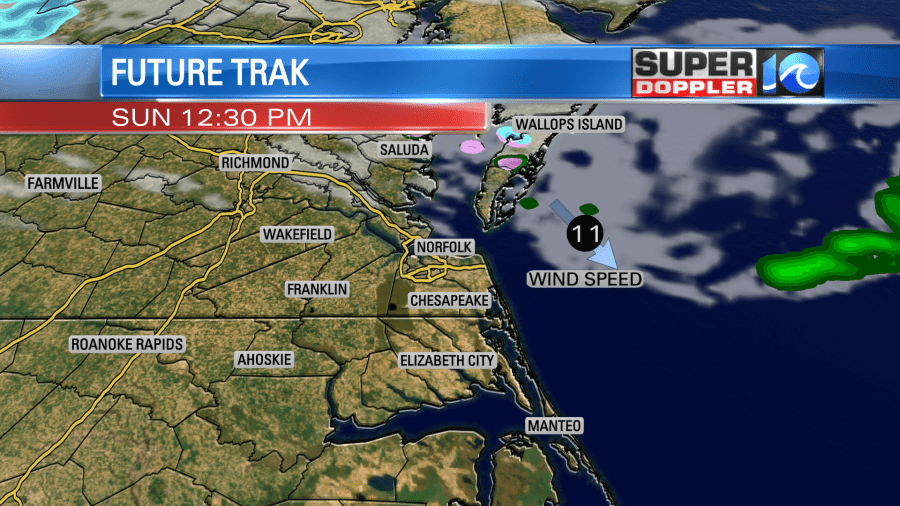
We’ll see a bit of cooler air on Sunday, with highs in the 40s across the region. Expect a few passing clouds on Saturday. There could be a stray shower or two across the Eastern Shore. There’s a small chance of a wintry mix there too. Don’t get too excited – I expect most spots will stay dry.


Dry weather will continue from Monday through Wednesday. It will be quite cool though with highs only in the 40s! Thursday into Friday, some changes happen… Both of our long range weather models have a weather system developing Thursday. They both have differences in timing and the amount of cold air, which is leading to different solutions as a result.

This far out, putting a lot of trust into the models isn’t exactly a great idea – as there will likely be changes as more data is analyzed. One small change can have a ripple effect downstream. One way we try to account for this uncertainty is by using ensemble forecast models. Ensemble models allow for us to look at a lot of models and allow for a probability based forecast by looking at how many have snow vs no snow. Right now, these ensembles have the probability of snow around 20-40% across the region.
So where do we go from here in the forecast of this system? Right now, we’re still in the 6-7 day timeframe so we’re just watching trends and seeing if the pattern is favorable. As we get into Monday, we’ll have a better idea of what could happen. If it looks like it’s still likely, then we’ll talk about amounts as we head into the middle part of the week.

Hope you have a great weekend!
Meteorologist Ricky Matthews
Follow Ricky on Facebook and Twitter


