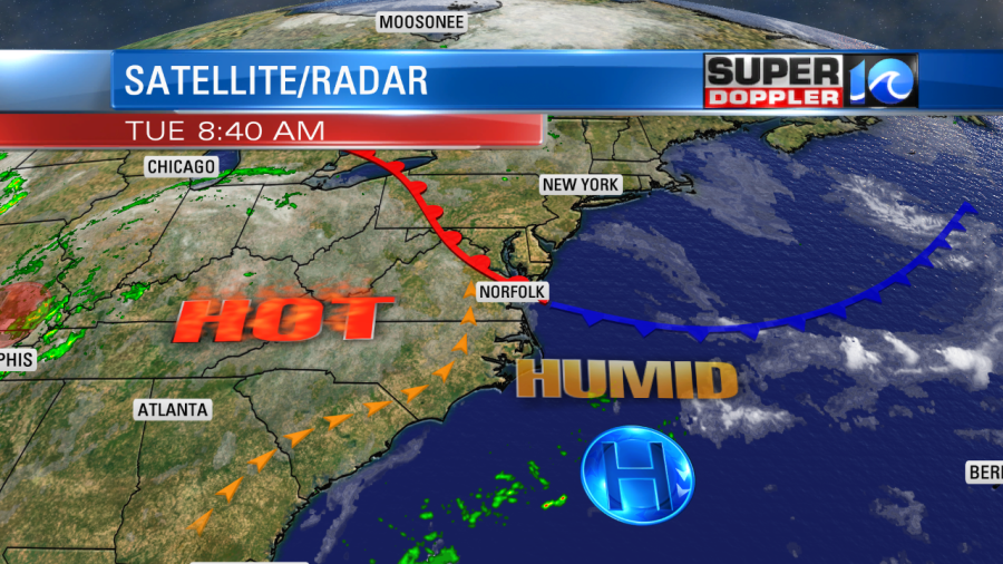
The temperatures are rising. Yesterday was the mildest day that we will experience within the next 7 days. It was in the upper 80s near the shore with low 90s elsewhere. There was a cool front in the region, but today it is transforming into a warm front.

The front will move to our north today. This will put us all back in the hot and humid zone. There is a lot of deep moisture around the remnants of Barry in the Midwest. Some of that humidity will slide east over the next few days. This will put our dew points in the mid 70s, and possibly into the upper 70s.

Today the dew points are already in the low 70s. We have a light south wind. We’ll have a mix of sun and clouds through the day. There will be some scattered showers and storms forming this afternoon. I have the chance for rain at 40%.

High temps will rise to the low 90s this afternoon with some mid 90s inland. The heat index will be between 96 and 102 degrees.

Tomorrow we’ll have a light southwest wind. The heat and humidity will increase a little bit. High temps will run up to the mid 90s. This will put the heat index up to 98-105 degrees. We’ll be partly cloudy with a few showers and storms during the afternoon. I’ve got tomorrow’s chance for rain at 30%.
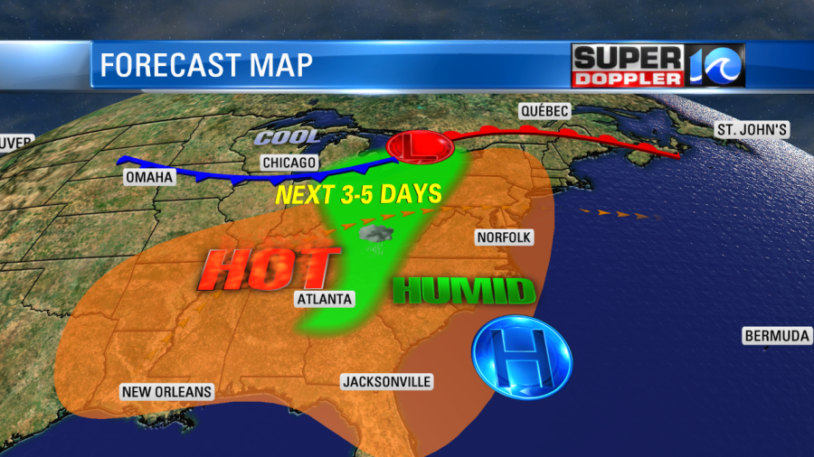
The heat and humidity will get worse Thursday into the weekend. High pressure will sit to our southeast. This is the typical Bermuda High (a.k.a. heat pump) weather pattern, and it won’t break for a while.

The high temps will be in the mid-upper 90s Thursday and Friday. There will only be some isolated showers/storms in the afternoon. High temps will be solidly into the upper 90s next weekend. The heat index will be potentially dangerous. It will likely rise up to between 100 and 110 degrees. Especially towards next weekend. There will likely be heat advisories posted later this week. These will be issued by the National Weather Service. So we’ll update you every day on the latest alerts. It won’t help that low temperatures will only drop to around 80 degrees for about 3-4 days in a row. That will be rough on the homeless. Hopefully, the local shelters will be up to the task. Hopefully, our A.C. units will be as well. The long-range models show some cooler weather by early next week.
Stay tuned for updates!
Meteorologist: Jeremy Wheeler


