Hopefully you had a chance to mow the lawn or do outdoor yard work Saturday – because the next few days will feature several rain chances. No, it won’t be raining all the time -and there will be some sunshine too – but you’ll be dodging rain drops through most of this week.
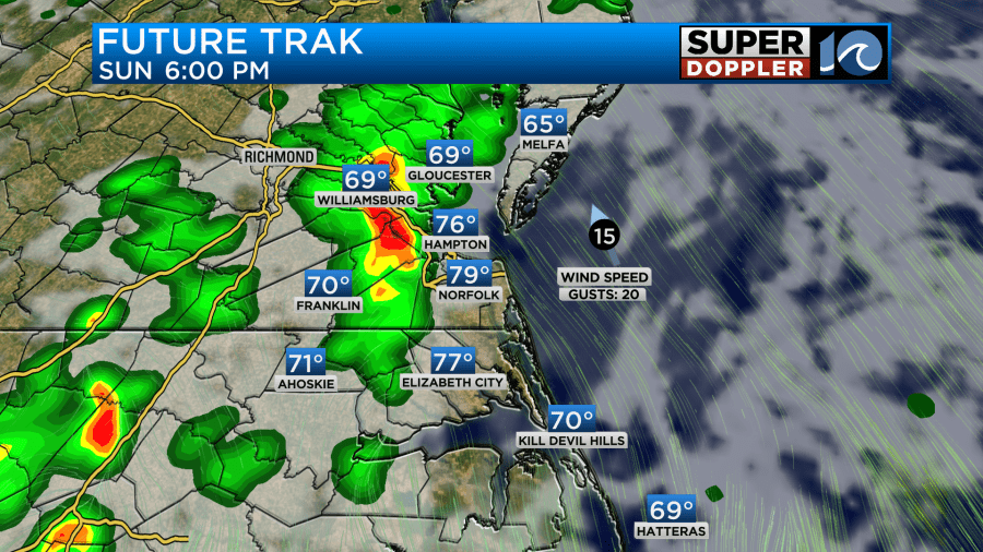
Sunday will feature mostly cloudy skies and some scattered showers. Pockets of heavy rain will be possible in the afternoon around 2-6pm.

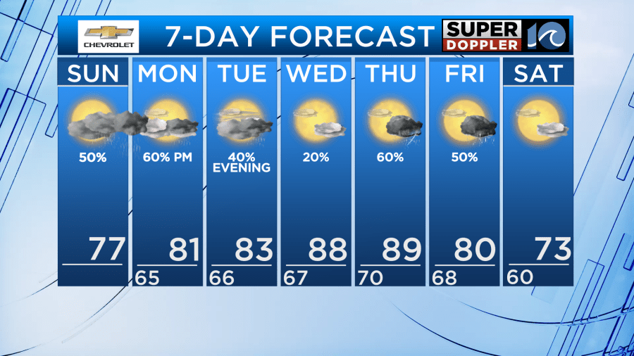
As we head into the work week, we’ll continue to see some scattered rain chances. Most of these will come in the afternoon with the mornings having less coverage.
There will be a lot of moisture in the atmosphere this week – so heavy rain will become a concern in any t-storm that pops up. Isolated flooding could occur. Most of the issues would be in urban areas where there is poor drainage. Slow moving storms Monday could bring the highest risk.

Temperatures wise, our highs will climb back into the low 80s early in the week, with upper 80s to near 90 by mid to late week. With this extra heat, we’ll see higher levels of t-storm fuel (CAPE). WitA few storms mid to late week could be strong – especially Thursday as a front moves into the area. Stay tuned for updates and make sure you have our WAVY Weather app to get any alerts that are issued.

Don’t forget too! This week on Wednesday the NOAA Hurricane Hunter aircraft will be here in our area and you can tour the planes. This event will occur at Signature Aviation in Norfolk.

Hope to see some of you there!
Meteorologist Ricky Matthews
Follow Ricky on Facebook and Twitter


