The last two days were warm, but they were also pretty humid. I like that we’re hitting some warmer numbers now that we are in April. (As I predicted). However, I’m not ready for the humidity just yet. Enter today…
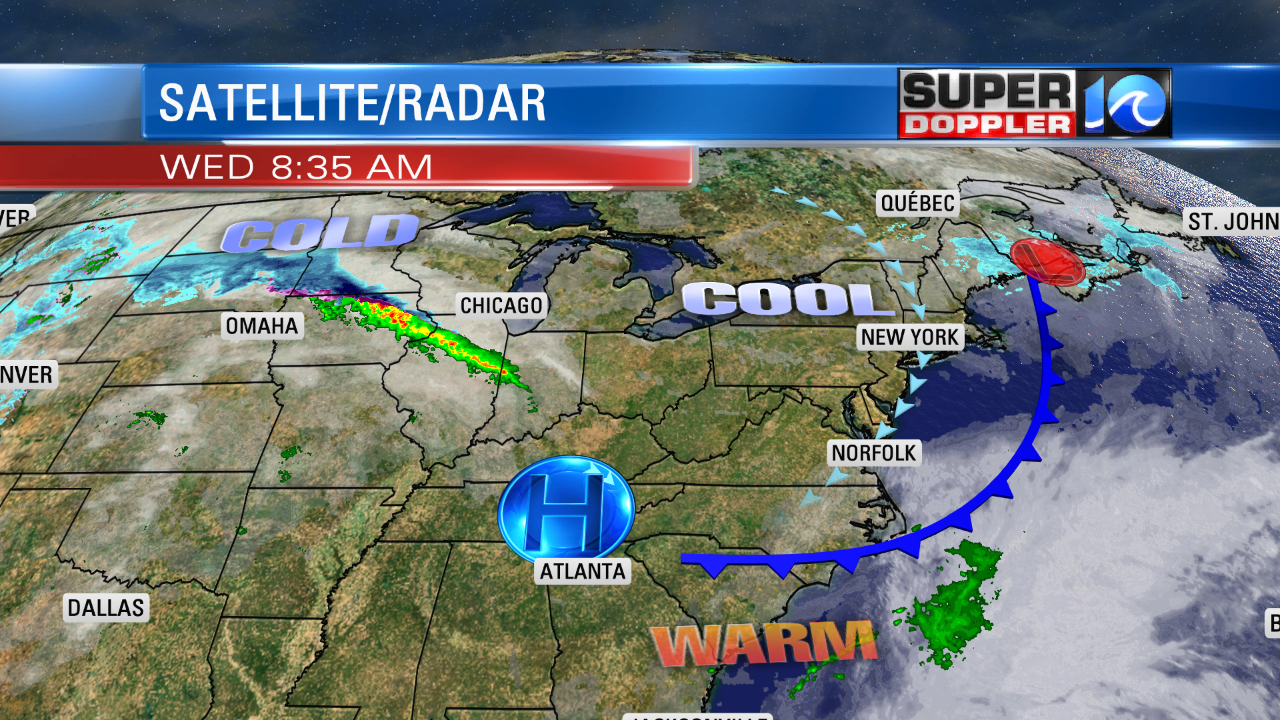
We have a cool front that is settling to our south. High pressure is getting closer to the region.

You can see on the same map all of the heavy snow in the upper Midwest (dark blue area).
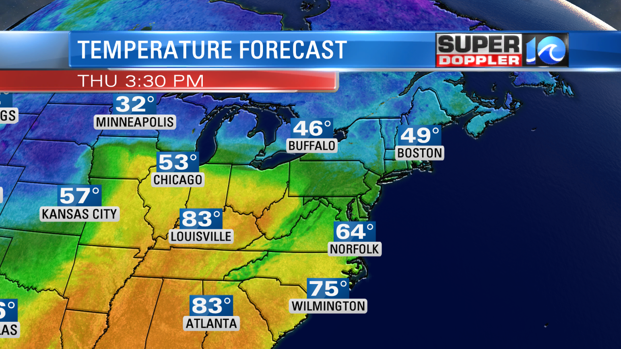
Locally, we are nice and dry. Temperatures dropped to the 50s this morning. Dew points are dropping into the 40s. We’ll have a Northeast/East breeze off of the weater today. So despite fair skies, high temps will be in the mid-upper 60s this afternoon with some 70s inland. Which should be pretty nice!
Average high temperatures are in the mid-upper 60s this time of year. The only bummer will be the pollen. Tree pollen is high and the grass is moderate. We didn’t have much rain yesterday after the morning. So the pollen started to increase again.
Tomorrow we’ll have about the same setup. However, we’ll start a little cooler. Lows will be in the 40s. We’ll have an easterly breeze at 10-15mph. So we’ll probably have highs in the 60s again with a few 70s inland.

By Friday we’ll develop more of a southerly breeze. This will allow high temps to rise into the mid 70s. Skies will be partly cloudy. We’ll warm up even more over the weekend. High temps will rise to the upper 70s to low 80s. However, we’ll also return to some muggy conditions.
Plus, we’ll have some scattered rain showers. It’s a little early to get the finer details, but the trend looks like there will be some scattered showers both days. Though it definitely doesn’t look like a washout. Stay tuned for updates.
Meteorologist: Jeremy Wheeler


