We were lucky that this offshore storm system did not grow in size, or track right over Hampton Roads, otherwise we could have seen minor flooding.

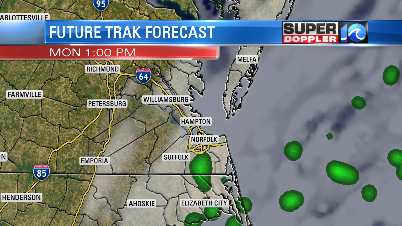
The heaviest bands of rain will be over the Ocean. While this storm is making a track mostly to our East. We could see a few showers across the Southside early in the Morning on Monday and also around midday Monday. One thing that you will notice is the higher wind speeds. Winds tomorrow will be in the 10-20 mph range.

This is about how wet the Future Trak looks, so I am not expecting a washout, but if you are going to be out and about around lunch tomorrow, bring a rain coat.
Now, lets look ahead, a strong area of high pressure is going to develop on Tuesday giving us highs in the upper 60s with sunny skies. One Wednesday, I dropped the high to 59, but that day is also trending to be mild with partly cloudy skies. The best two days this upcoming week will be Thursday and Friday. We will see highs close to 70 with sunny skies.

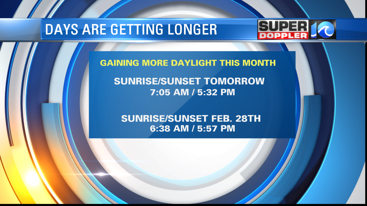
While those are work days, our days are getting a little bit longer each day this time of year. Each day we gain approx. 2 minutes of daylight. You can see by the end of the month, our sunset will be closer to 6 PM! Enjoy the week ahead.
Meteorologist Jeff Edmondson


