We have had a lot of humidity in the region. It’s that time of year now. It will be very warm and humid today with some rain showers moving in. High pressure is off to our northeast again today, but it has nudged slightly farther away. We have a southeasterly flow which is continuing to stream the moisture into the area.
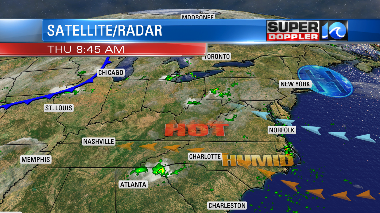
During the morning we had scattered showers coming in from the southeast. A couple of heavy showers even formed along the coast. We’ll have a mix of sun and clouds today with more scattered showers coming in from the ocean.
High temps will be in the upper 80s with a few 90s inland. The occasional clouds should limit the heating, but humidity will make it feel like the 90s due to the heat index. The showers should push inland and taper off by the late afternoon into the evening.
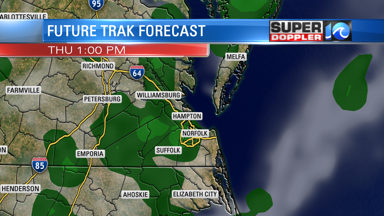
By tomorrow we’ll be heating up even more ahead of a big cold front. We’ll have increasing clouds through the day. A few scattered showers and storms will form by the afternoon. However, a big line of showers and storms will form by the evening. There could be some heavy downpours. The line of showers and storms will move through between Friday night and Saturday morning. This will be welcome as it’s been a while since the area had an appreciable amount of rain. We will cool down big time behind the front. High temps will be near 80 on Saturday. After some morning showers, we’ll dry out in the afternoon. Sunday looks awesome. Highs near 80 and dry. Nice for Monday too.
Meanwhile in the tropics…There are 2 disturbances that have come into focus over the last 24 hours. There is one that is south of Bermuda. This one looked like it was going to develop yesterday, but today it isn’t that impressive.
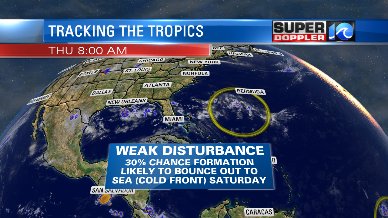
It has about 30% chance for formation in the next couple of days. After that the cold front will come in and swat it out to sea. It will probably also tear it apart. For now it is drifting slowly to the northwest. So we’ll watch it closely.
The other feature is in the central Atlantic. It has really perked up in the last 24 hours. Yesterday it had a 20% chance for formation. Now it is up to 70%. It may be a designated system by the time you read this.
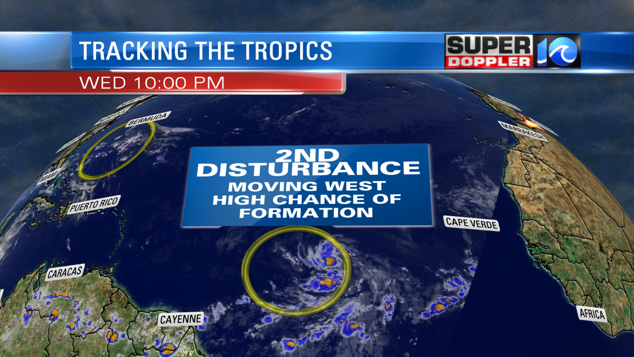
This one is also moving west/northwest. In a couple of days it will move into an area that is unfavorable for development, but it may become a tropical depression or storm before then. This could impact the Lesser Antilles with some heavy rain. Stay tuned for updates.
Meteorologist: Jeremy Wheeler