Yesterday’s weather was great. We ended up with highs in the 80s and partly cloudy skies during the afternoon. I was doing some painting, and appreciating the fresh air. by yesterday evening a cool front moved in from the north. It created some spotty showers as the winds turned out of the northeast. Now the front has dropped south of Hatteras.
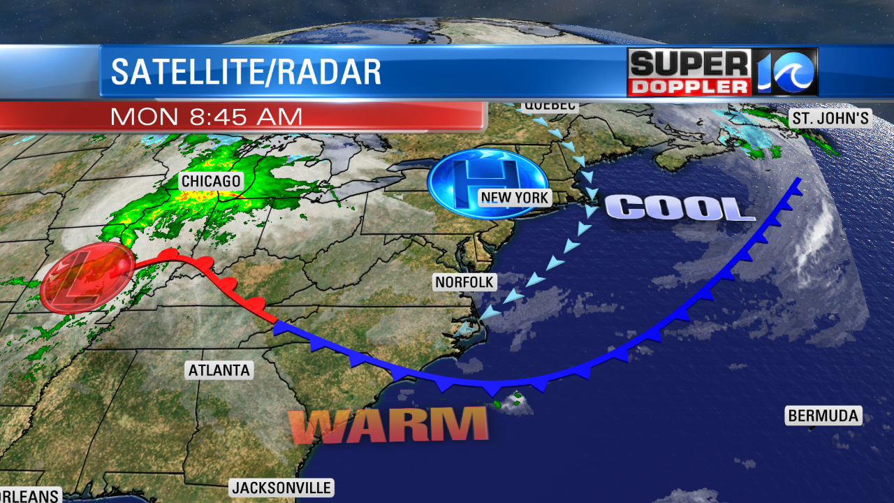
Clouds have filled in behind the front. An area of high pressure to our north is actually drifting away from us today as it slides northeast. The breeze is out of the northeast at a solid 5-15mph and some of the gusts are up to 20mph. This will be the case through most of the day. Also, we’ll have a mix of sun and clouds, but I think a good portion of the day will be mostly cloudy. This is going to create a much cooler day. High temps, therefore, will only be in the mid-upper 60s this afternoon. Possibly in the low 60s north of Hampton Roads. Tomorrow the front will lift back north as a warm front. Skies will be partly sunny with a southwest wind. So temperatures will jump about 20 degrees in a 24 hour period. Forecast high temps are in the mid-upper 80s for Tuesday. Some areas may even hit 90. Wow!
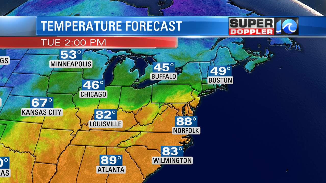
Record high temperatures are in the low-mid 90s for this time of year. The average high is 71 degrees.
We’ll stay warm through the rest of the week. High temps will be in the low 80s on Wednesday. Then we’ll be in the mid-upper 80s Thursday and Friday. There may be an isolated shower on Wednesday, but most of this week should be dry. We’ll probably develop some rain by next weekend as temps drop to the 70s. Stay tuned for updates about that.
Meteorologist: Jeremy Wheeler