After high temperatures on Halloween peaked around 70°, it should hold as the warmest day over the next seven to ten. As the first week of November is upon us, cooler and more traditional sweater weather moves into the region.
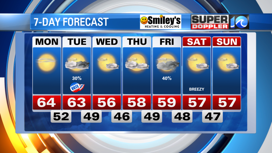
It’ll remain seasonally cool for the next day or so – which means temperatures dropping to near 50° tonight, with the 40s expected for inland locations away from the waterways. A few clouds stream in & out tonight, then setting up a bright, blue sky Monday. Highs tomorrow should hold in the mid-60s, then similarly into Tuesday. However, by Tuesday, changes approach the region.
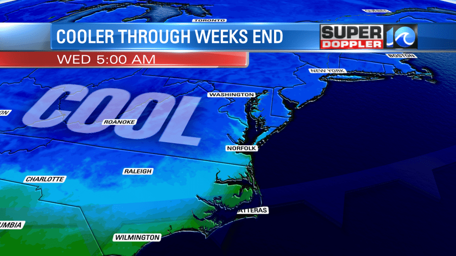
Clouds increase into Tuesday afternoon as a cold front will drop through Hampton Roads. A few showers will accompany it, likely later in the afternoon and evening, but what we’ll notice more is the cooler air behind the front.

Temperatures Tuesday night should drop into the 40s, but our afternoon highs will hold in the 50s! The cooler air will keep highs in the 50s (with lows in the 40s) through the end of the week, with another shot of rain possible by Friday.
Out in the tropics, we’ve exhausted the 2021 list of tropical cyclone names. Subtropical Storm Wanda developed late Saturday night way out in the north-central Atlantic ocean. The system is expected to meander for a few days before moving into the colder waters to its north.
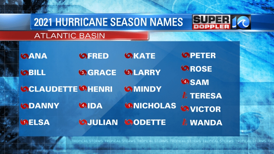
While additional tropical development is not likely over the next week or so, there’s still one more month of hurricane season. If another system comes along, the National Hurricane Center has done away with the usage of the Greek alphabet and has created a supplemental list of names instead.
But we shouldn’t have anything to worry about with the tropics for the next seven to ten days. Our focus will be on the cooler, November sweater weather on the way!
Meteorologist Steve Fundaro
