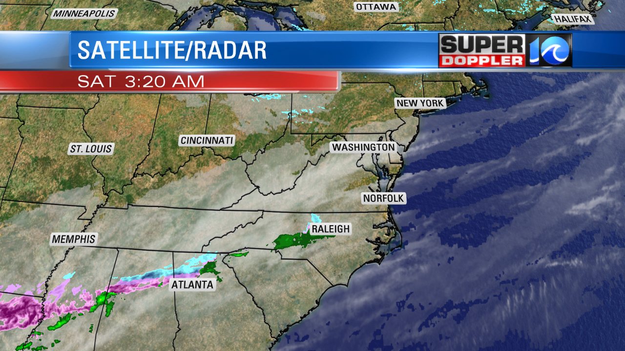
We went from brutally cold air to extremely warm air and this week we’re settling somewhere right in the middle. The weekend starts off cold with highs in the upper 30s and a partly cloudy sky. High pressure is building in across the region and that’s why we’ll have a dry weather pattern for both Saturday and Sunday!

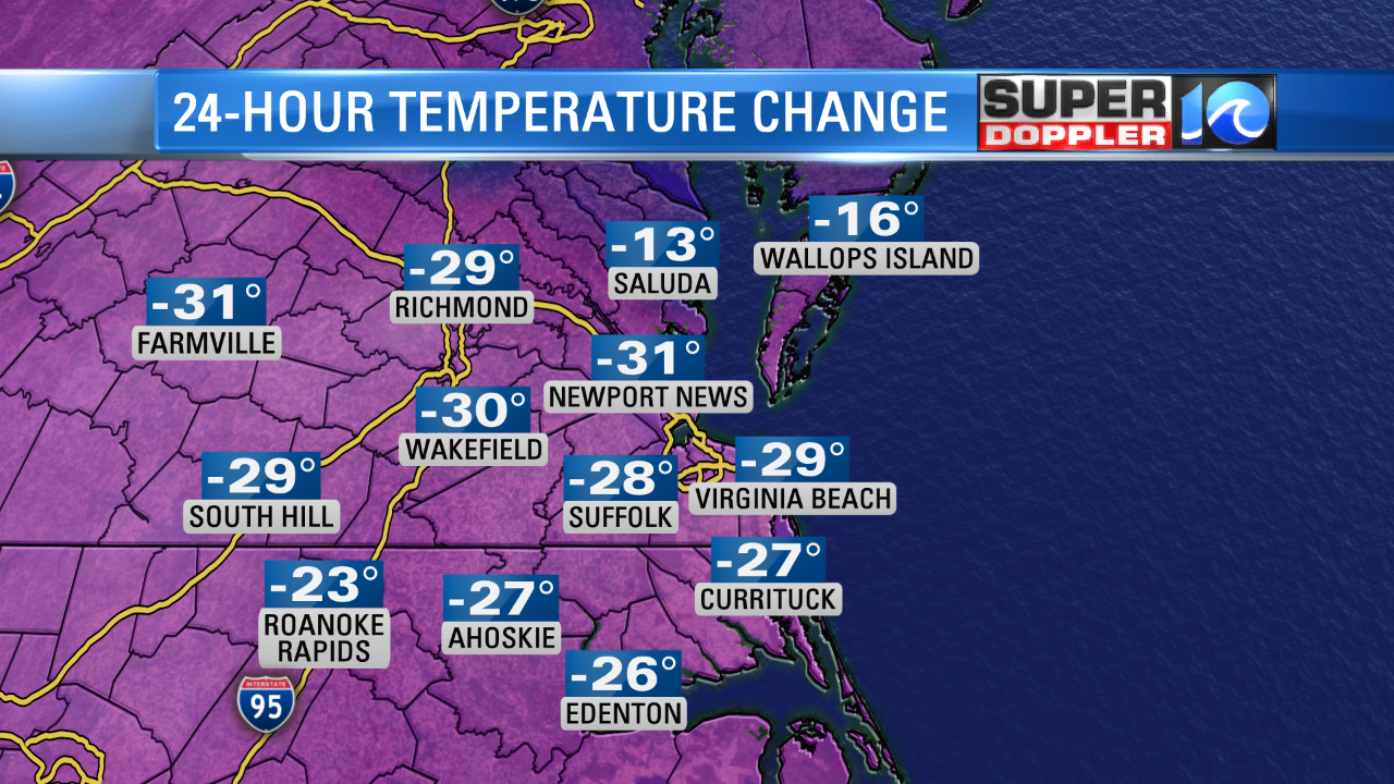
The cold air is just funneling in from the north so both days will be below average. Sunday gets a bit more mild with highs topping off in the mid 40s. Not as nice compared to the 70s we just had! From this time yesterday most areas are about 20-30 degrees colder. A big difference outside!

The work week ahead turns rather unsettled. Several days we’ll be dealing with on/ off rain, but the temperatures will be seasonable. The first round of rain arrives early Monday morning and continues into Tuesday. Could be heavy at times but we will see some breaks in between the showers. Overall, not a great start to the work week!

Wednesday and Thursday look like we’ll start to dry out but we’re keeping our eyes on a system that could bring heavy rain to the region on Friday. It’s still early to talk about the timing of that system exactly but something to keep in mind!
Have a great weekend! -Meteorologist Casey Lehecka


