After nearly perfect weather for Mother’s Day, we’ll keep the trend of comfortable and pleasant conditions to start the workweek before changes move in around midweek. Into the night a few clouds will trickle into the region as temperatures hold in the 50s.
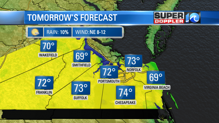
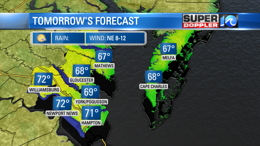
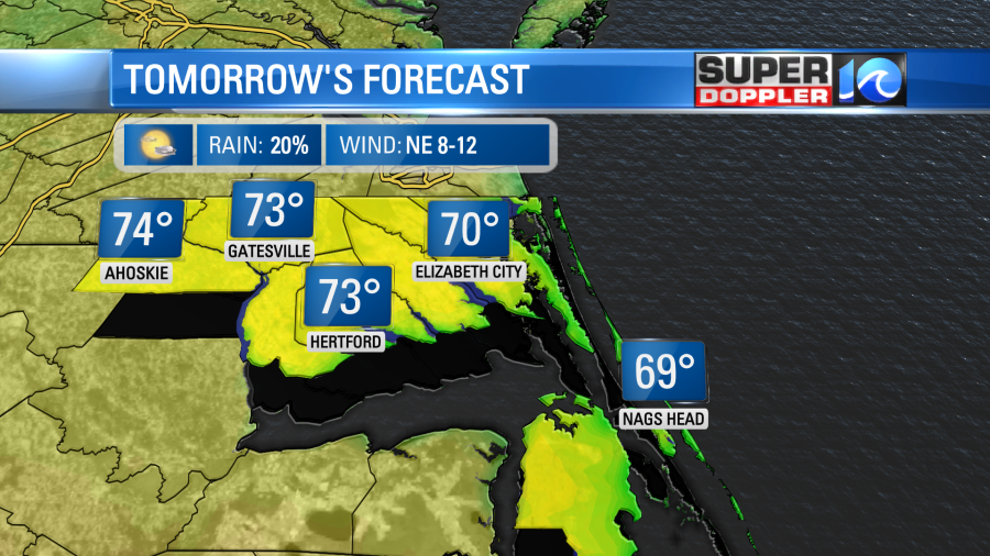
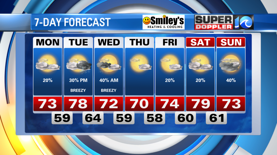
The northeasterly breeze will continue throughout our Monday, keep temperatures in the upper 60s and low 70s. A mix of sun and clouds is expected with a spotty shower or two possible, but our bigger rain chance should hold off until the midweek time frame.
On Tuesday a warm front will lift through the region, in doing so, a warm southwest breeze will increase the clouds coverage and boost our temperatures back to near 80°. But as the system develops off to our west, some showers and a few thunderstorms are possible by the late night hours.
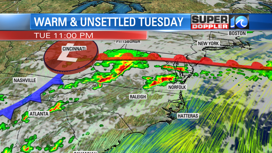
As of now, scattered showers and thunderstorms will move in late Tuesday night and into early Wednesday morning. Most of the rainfall looks to move out at a decent time in the morning Wednesday, as a cooler breeze out of the north drops temperatures to near 70°. Pleasant conditions are then expected for the rest of the week with some decent sunshine.
Meteorologist Steve Fundaro