
Before I got in this morning, I thought this upcoming week might be a little busy. Upon further investigation I realized that it might be very busy. Yesterday a cool front moved into the region and created some nice weather for Mother’s Day. Today that front is moving slowly north as a warm front.

The front is almost stalled out, but it will try and creep northward through the day. High temps will be in the mid 80s with a couple of 90s inland. We’ll be in the upper 70s near the shore and on the Eastern Shore. Winds will be variable at 5-10mph. Skies will be partly cloudy. We’ll have some isolated showers and storms popping up this afternoon. By the evening we have a higher chance for rain as a batch of thunderstorms drops in from northern Virginia. The current timing looks like it will be between 5 and 9pm.
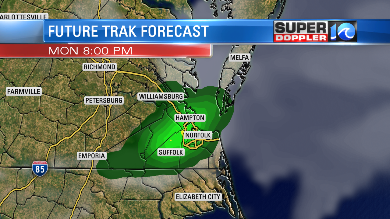
There may be some strong thunderstorms with isolated severe winds possible. I think the coverage will be a little higher than the model shows. Part of our area is in an enhanced risk for severe weather. This is level 3 out of 5. There will be some brief heavy rain, but I’m not concerned about flooding as they should move through at a good clip. Tomorrow we’ll heat up even more. High temps will be near 90 degrees. Winds will be just a little stronger out of the southwest, and the warm front will be farther north. Again, there may be some isolated showers and storms during the afternoon.
From Wednesday onward we’ll have a pretty high chance for rain and storms. (60-70%). This will be more than pop-up showers and storms. The main reason is that the humidity will be way up. We could have dew points in the 70s, which is very high for mid-May. What is the source of that higher humidity? The main reason will be a persistent southerly flow at multiple levels. However, another feature may come into play… A possible tropical system. Right now there is a weak disturbance near Florida.

This feature will bring heavy rain to Florida in the short-term. In the long term it will drift north. It could possibly snake its way up the east coast. It will probably remain weak if it does form as it would have a lot of interaction with land. However, it will be wrapped in tropical humidity. So we may at least have some localized flooding in the region. Stay tuned for updates through the week. We’ll be here….
Meteorologist: Jeremy Wheeler


