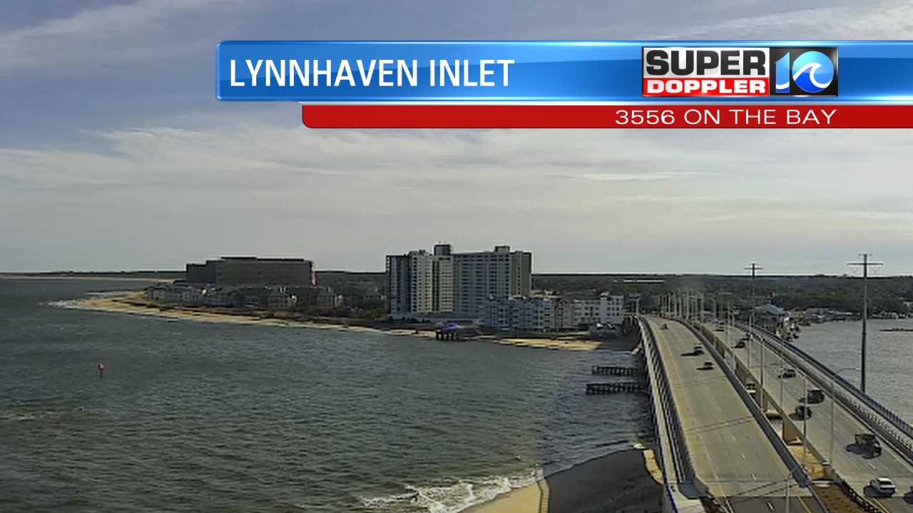
Cloudy, soggy and cool would be the words to describe Monday and Tuesday. The good news is we’ll be drying out today! The clouds are starting to clear and you’ll be able to get your daily dose of Vitamin D today. Highs will top off in the lower 50s. High pressure moves back in and that will give us a quiet weather pattern for today and into tomorrow.

Have any outdoor Valentine’s Day plans? Fear not, the weather will cooperate and we’ll have a sunny sky across the region!

Now the weekend is a different story. Friday won’t be bad, highs will be in the mid 60s. The timing is still being fine tuned so this can (and probably will!) change but the timing right now looks like a cold front sweeps through Saturday. We’ll start off a little bit more mild and then drop throughout the day into the mid 40s, with the cold front also comes some rain. There could be a few heavy downpours and I think we’ll have more rain Saturday compared to what we’ll see on Sunday A little bit cooler for Sunday with highs in the mid 40s.

Overall, I don’t think this weekend will be a complete washout but this weather pattern has been rapidly changing so stick with us for more updates! -Meteorologist Casey Lehecka


