We had to settle for highs in the upper-20s to near 30° on Thursday. Even though it is another cold start to the day, it’ll be a touch milder this afternoon with temperatures topping out in the upper-30s, near 40°.

About 8° to 10° warmer than it was yesterday, but still well below our average high of 49°.
Overnight, expect partly cloudy skies with the mercury falling back into the low-20s.
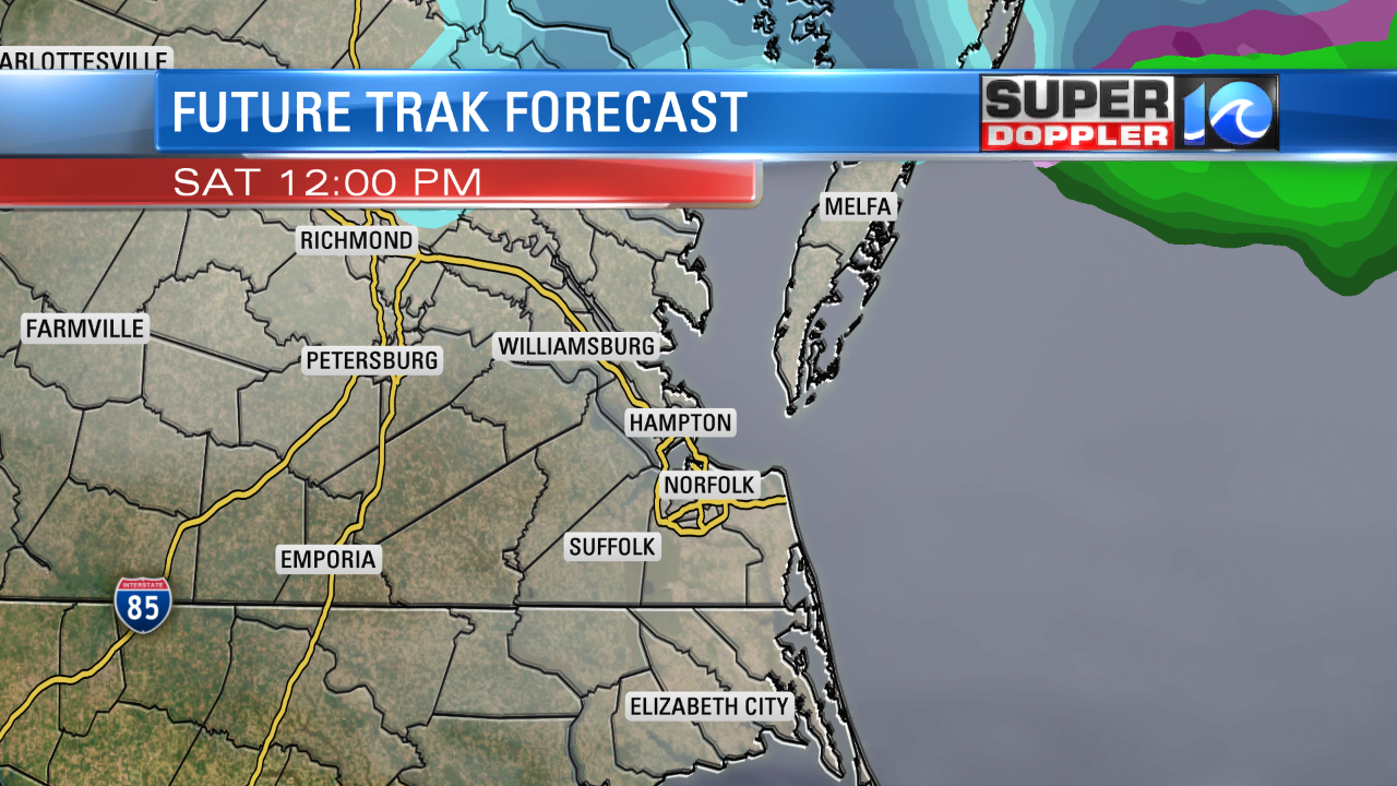
Saturday will be the warmest day (and I use that term loosely) of the next seven. Even though we will be tracking more clouds than sun, a light southwest breeze will boost temperatures into the mid-40s. That’s still slightly below average, but a little closer to seasonable. As that front approaches, most of us will stay perfectly dry, but I can’t completely rule out a chance of flurries or a brief wintry mix towards the Northern Neck or Eastern Shore. I’d only give it a 2 in 10 chance.
More importantly, in the wake of that front, the mercury will get knocked back down into the low-30s for New Year’s Eve. We’ll close out 2017 and welcome 2018 with some bitterly cold air.

I know everyone wants to dress all fancy for New Year’s Eve, but this time around, you’ll want to dress warmly. Expect partly cloudy skies with temperatures around 20° as the clock hits Midnight..give or take a degree or two depending on whether you’re inland or closer to the coast.
New Year’s Day will be very cold..
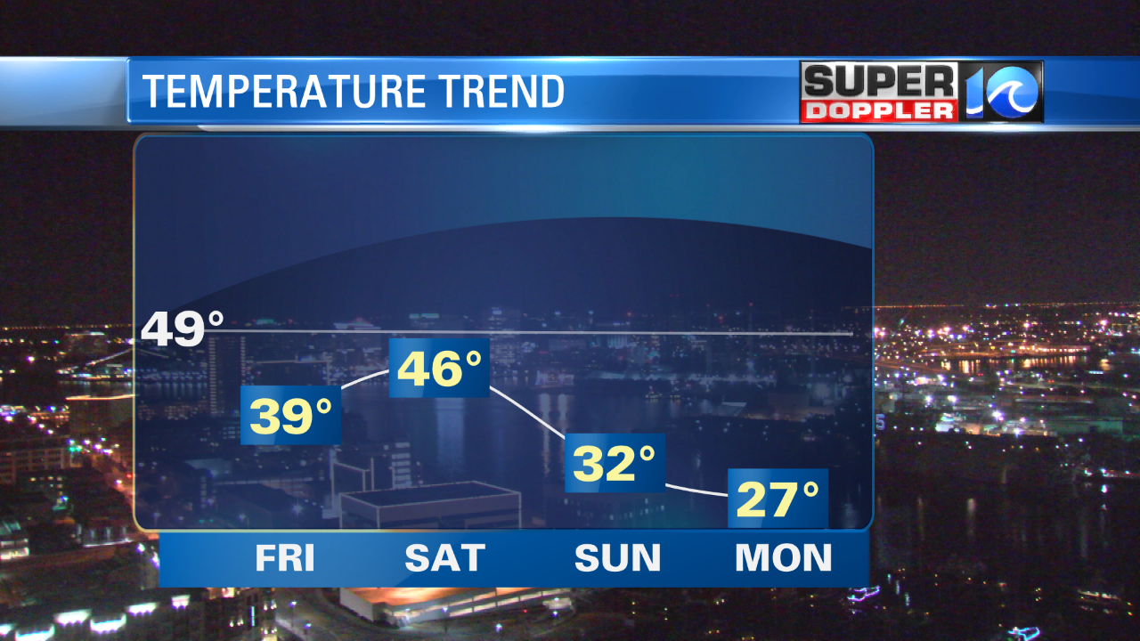
Highs will only be in the mid to upper-20s for the first day of 2018. Unfortunately, things don’t warm up much for the first week of the new year. Temperatures will hold steady in the 30s as everyone heads back to work and back to school. The good news? No big storms in sight – we are looking at a relatively dry and quiet 7-Day Forecast.
If you don’t catch me over the weekend, let me just wish you a happy, healthy new year!
-Meteorologist Ashley Baylor


