NORFOLK, Va. (WAVY) — Virginia Wesleyan University is using science to make a difference in the community by partaking in the largest heat-mapping effort in the country.
Staff, students and volunteers are conducting an “Urban Heat Island” study to understand how heat is distributed differently across the City of Virginia Beach.
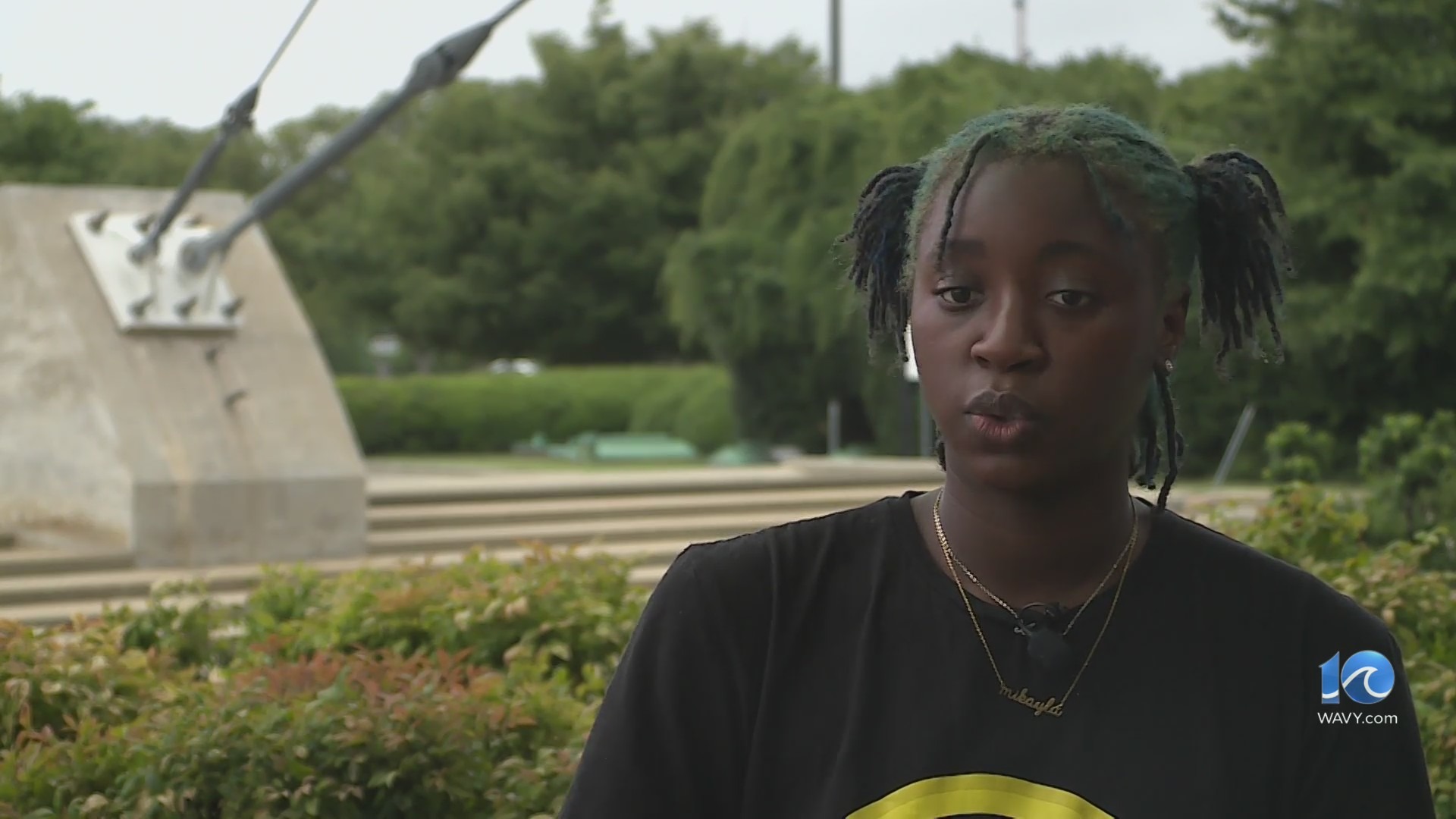
“We wanted to do a study that would have a meaningful impact on our communities and also would help with climate resilience,” said Elizabeth Malcom, a professor of Ocean and Atmospheric Sciences at Virginia Wesleyan.
At 6 a.m., 3 p.m., and 7 p.m., on Thursday, about 30 to 40 volunteers will be mapping 100 square miles of Virginia Beach on specific routes with heat sensors mounted to their cars. Each sensor will record and log temperature and humidity values.
A similar study conducted a few years back from the science museum in Richmond found that neighborhoods that were previously redlined experienced more heat extremes. The goal here locally is to find neighborhoods that could use the addition of trees and greenery to combat summertime heat.
“The City of Virginia Beach and the community are also interested in learning about this to see what we can do to improve the quality of life for people,” added Malcom.
Once complete, the city will use the data collected to target areas for future tree planting.
Download the WAVY News App to keep up with the latest news, weather and sports from WAVY-TV 10. Available in both the Apple and Google Play stores.

