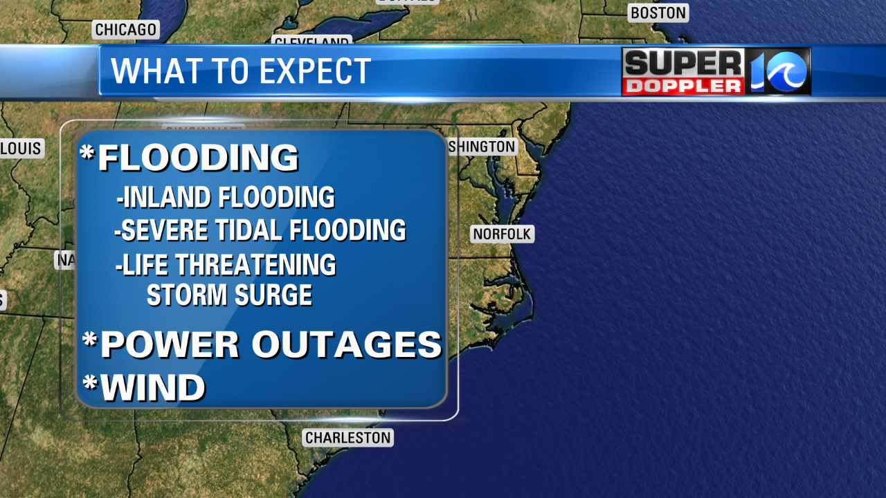
The latest (11PM Monday) advisory has Florence maintaining its intensity. It’s in an environment that’s conducive for it to further organize and strengthen; so, we’ll see if that happens. Confidence in a landfall across NC is increasing, but there will be major impacts for the Tidewater…including Hampton Roads. Already, there is a mandatory evacuation for Zone A in Hampton Roads set for Tuesday.

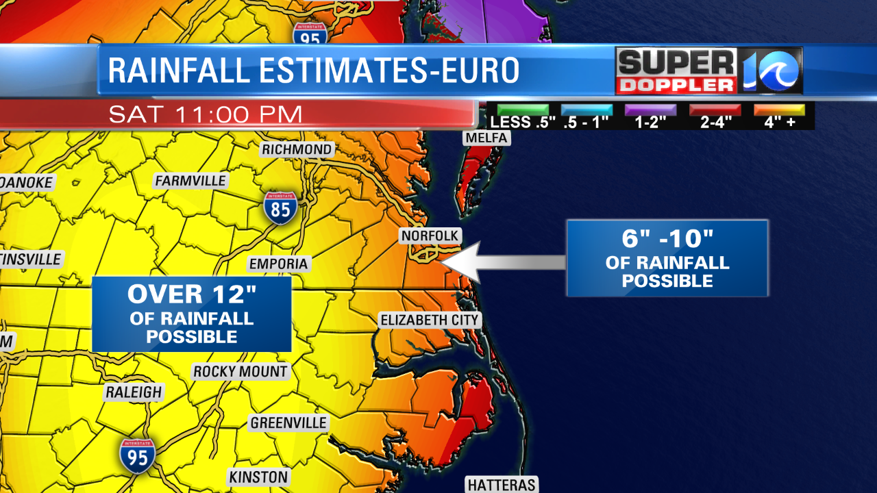
Flooding is a BIG concern and MAJOR threat with Florence for our area. There could be severe Tidal Flooding with levels over 6.5″. The term “historic” has been used to describe the inland flooding potential with Florence if it meanders over inland NC…with some areas receiving over a foot of rain.

The rainfall estimates above are from the European Model, and it’s showing the highest potential rainfall amounts thus far. Just wanted to show the potential we could be dealing with…so plan for the worst. Life Threatening storm surge is also a concern…especially if Florence meanders offshore of the OBX as a couple of models are hinting at.

The earliest estimates of Tropical Storm force winds will be on Wednesday evening for the OBX…then Thursday afternoon for Hampton Roads (see above 50% chance for winds 39mph or higher by 6PM Thursday for the 7 cities). Please, have a plan… gather necessary items for your hurricane kits, and listen out for evacuation info.
Watch WAVY each newscast for updated info.
-Meteorologist Deitra Tate


